Our Work & Partner Spotlights
From high-end real estate listings to massive civil engineering surveys. We proudly feature the Realtors, Builders, and Engineers we partner with to deliver outstanding results.
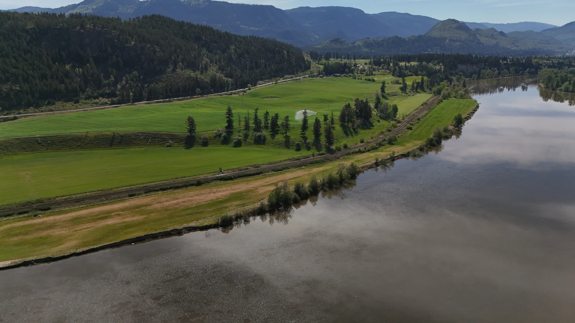
Dunn Lake Road
Aerial photography for a Barriere property, captured with RPAS-certified drone technology. These are the photos straight from the drone, showing the property and its surroundings from every angle.
- Photos
- 14 aerial shots
- Turnaround
- 24-48 hours
Property Aerial Photos
Full Aerial Package Includes:
- 14 high-resolution aerial photographs
- Full property and lot coverage
- Multiple angles and elevations
- Fast 24-48 hour delivery
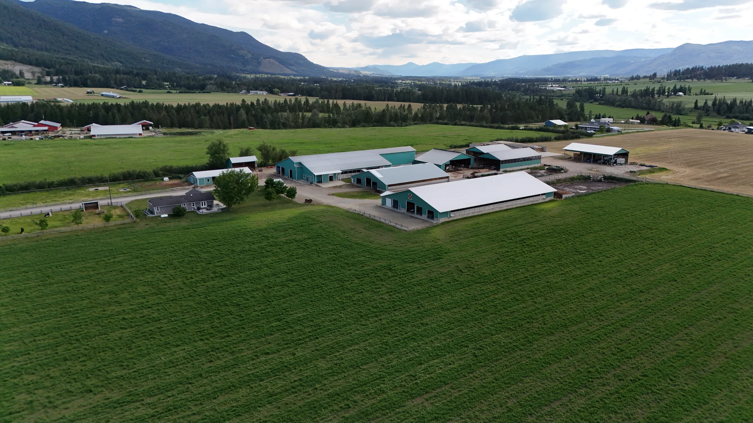
Back Enderby Road
Aerial photography for an Enderby property, captured in June 2026 with RPAS-certified drone technology. These are the photos straight from the drone, showing the property and its surroundings from every angle.
- Photos
- 60 aerial shots
- Turnaround
- 24-48 hours
Property Aerial Photos
Full Aerial Package Includes:
- 60 high-resolution aerial photographs
- Full property and lot coverage
- Multiple angles and elevations
- Fast 24-48 hour delivery
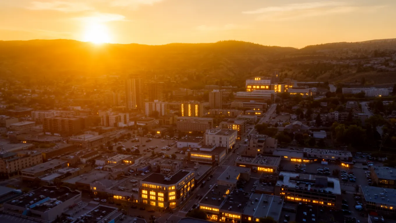
Kamloops City Tour
A collection of aerial views capturing Kamloops from above. From cityscapes to riverfront properties, see the Thompson-Nicola region like never before.
- Photos
- 14 aerial shots
Aerial City Tour Views
City Landscapes
Aerial views of downtown Kamloops and the surrounding neighbourhoods. Perfect for real estate marketing and city promotion.
Riverfront Views
The Thompson rivers and waterfront properties from above, showing the setting buyers are really paying for.
Mountain Views
Panoramic shots of Kamloops framed by mountains and valleys. Capture the full scope of your property's natural setting.
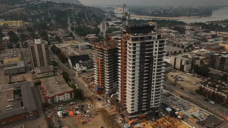
City Gardens Luxury Real Estate
High-resolution aerial photography and visual data capture for the City Gardens development. This project highlights the modern architecture and its integration into the Kamloops downtown core, providing potential buyers with stunning perspectives of their future skyline.
.webp)
Blackwell Pit Reclamation
Detailed aerial surveying of a large excavated mining pit to monitor reclamation efforts. Our RPAS operations captured high-resolution orthomosaics and topographical data, allowing engineers to track heavy machinery movement and environmental restoration.
.webp)
Blackwell Agricultural Land Mapping
Comprehensive aerial mapping of the Blackwell farm property and surrounding rural agricultural land. This visual data assists in farm management, crop planning, and property assessment.
.webp)
Kawkawa Lake Recreational Properties
Scenic aerial photography showcasing the pristine beauty of Kawkawa Lake and the surrounding mountainous landscape. Ideal for marketing recreational properties and waterfront real estate.
.webp)
Downtown Kamloops Urban Mapping
Aerial overview of the downtown Kamloops core, featuring mid-rise buildings, the Sandman Centre, the Tournament Capital Center, and the convergence of the North and South Thompson rivers.
Want to be featured in our Portfolio?
When you book a professional drone package with Hutton Aerographics, you get more than just stunning visuals. We offer a Free Partner Spotlight—featuring your profile, business description, and a valuable SEO backlink to your website right here on our high-traffic portfolio.