Acreage Aerial Photos in Kamloops and the BC Interior
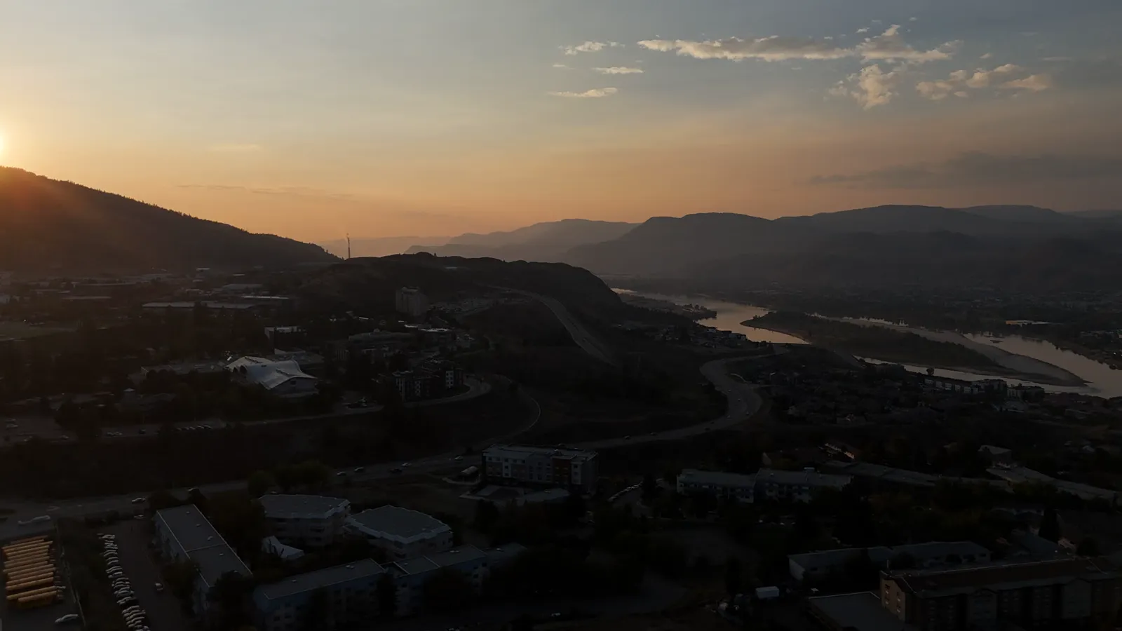
Capturing the scale of your land
Selling or managing a large property in the Kamloops region presents unique challenges. Standard ground-level photography often fails to show the true layout, boundaries, and topography of an acreage. Aerial photography provides a perspective that helps viewers understand the scale of the land, the placement of structures, and the relationship between different features on the property.
For small business owners, developers, or landowners in the BC Interior, high-quality aerial imagery is a practical tool. It moves beyond simple aesthetics to provide a clear overview of the terrain and assets.
How drone photography works for large properties
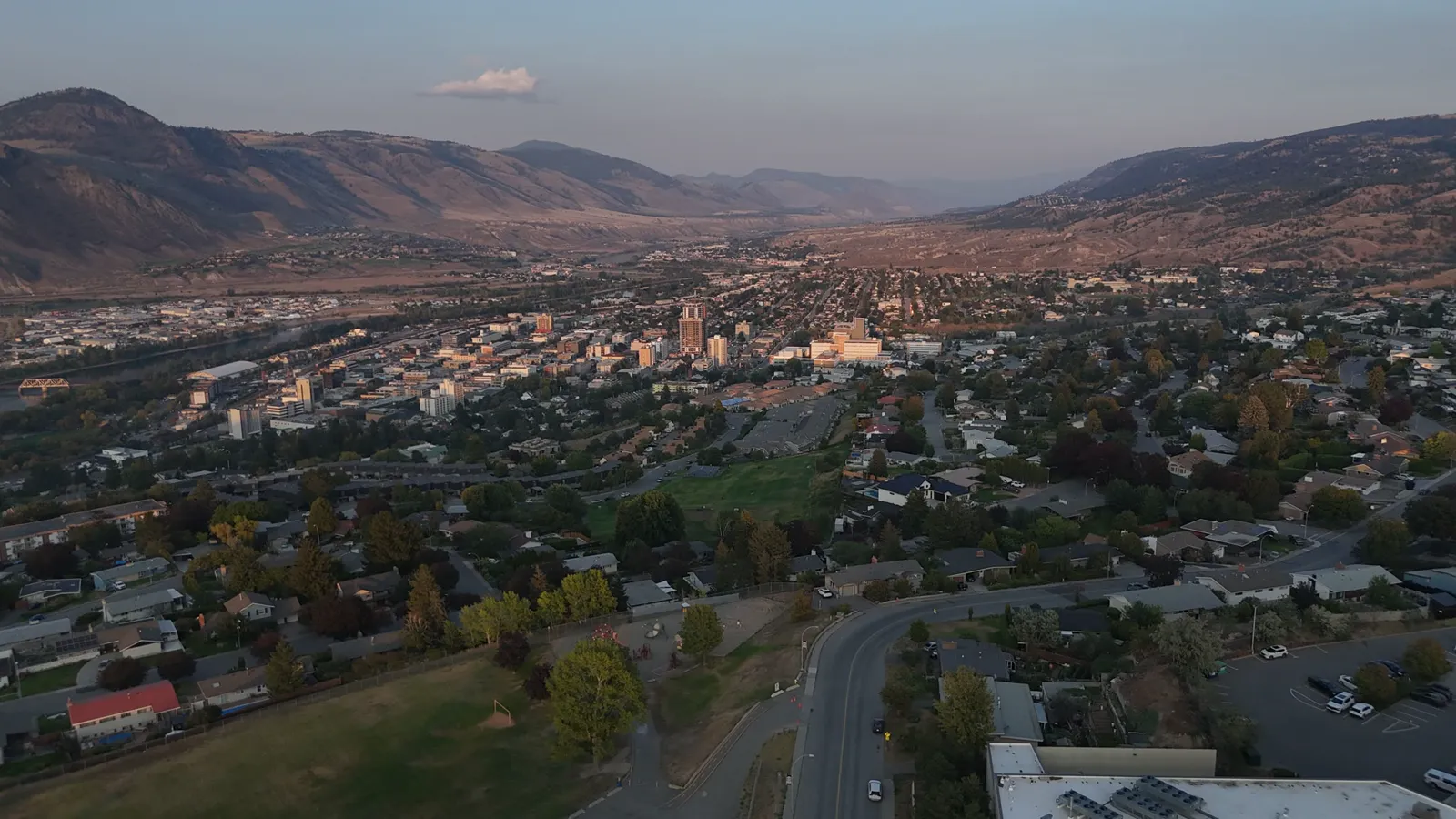
Working with a drone pilot involves several technical steps to ensure the data is useful. When we arrive at a site, the process typically follows these stages:
- Site Assessment: We review the airspace and terrain to ensure a safe flight path. This is especially important in the hilly terrain around Kamloops.
- Flight Planning: We determine the best angles to capture both the structures and the surrounding land context. This includes high-altitude shots to show property boundaries and lower-altitude shots to highlight specific features like outbuildings or water features.
- Data Capture: Using professional-grade drones, we capture high-resolution stills and 4K video. For more technical needs, we can also perform thermal inspections of roofs or buildings to identify heat loss or moisture issues.
- Delivery: The final images are processed and delivered to you for use in listings, marketing, or personal records.
Applications for acreage owners
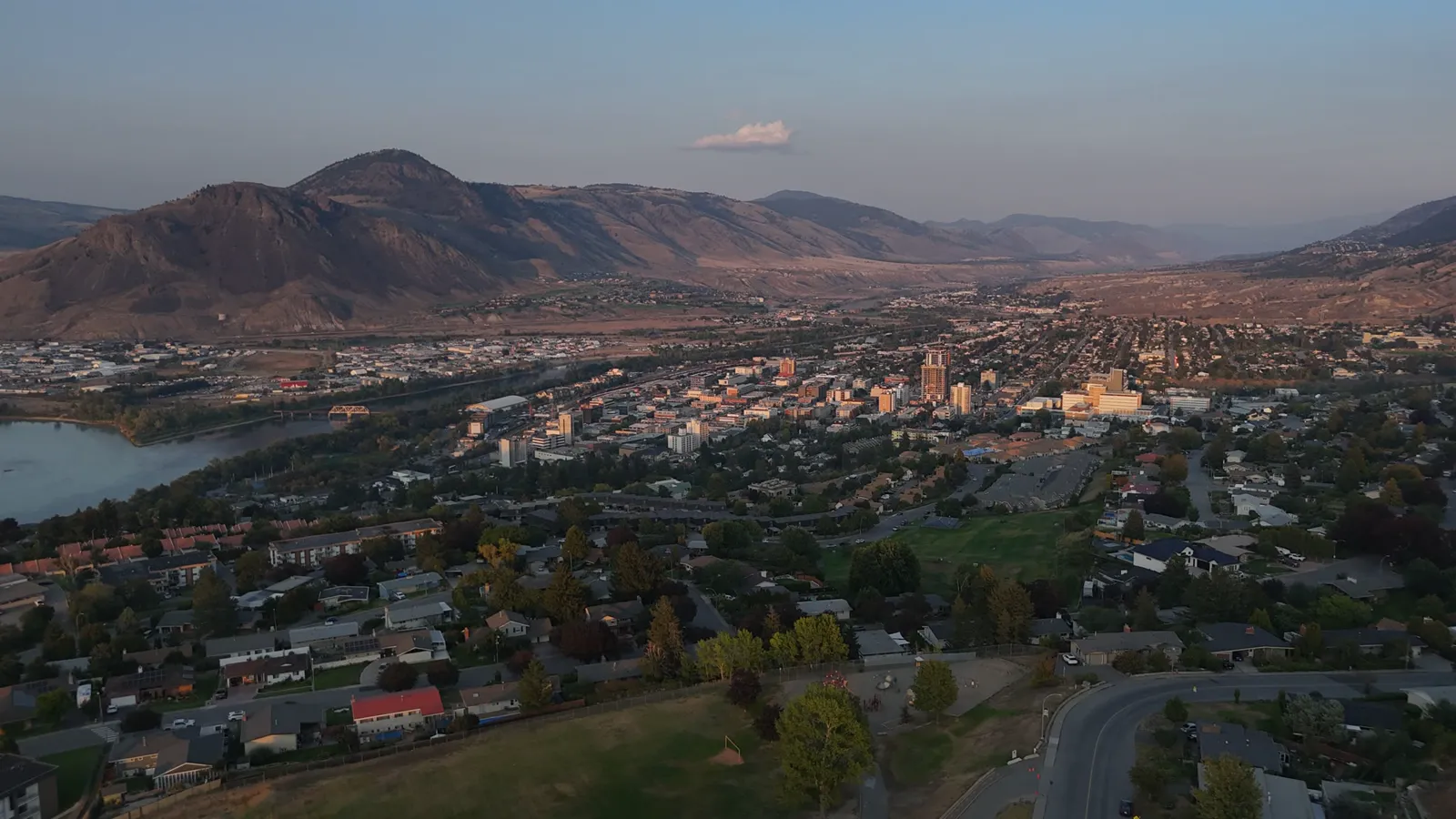
Aerial imagery is used for more than just real estate listings. Depending on your needs, drone services can assist with several different tasks:
Real Estate and Marketing
If you are listing a rural property, aerial photos show the access roads, proximity to neighbors, and the overall layout of the acreage. This helps potential buyers visualize the property before they even arrive on-site.
Site Documentation and Construction
For those managing construction on an acreage, we provide progress documentation. This allows you to track the development of a build over weeks or months. For more advanced needs, we offer orthomosaic maps and point cloud exports to provide highly accurate visual records of the site.
Land Management
Aerial views can help identify drainage issues, erosion, or the health of vegetation across a large area. This bird's-eye view makes it easier to plan fencing, roads, or landscaping projects.
Professional standards and safety
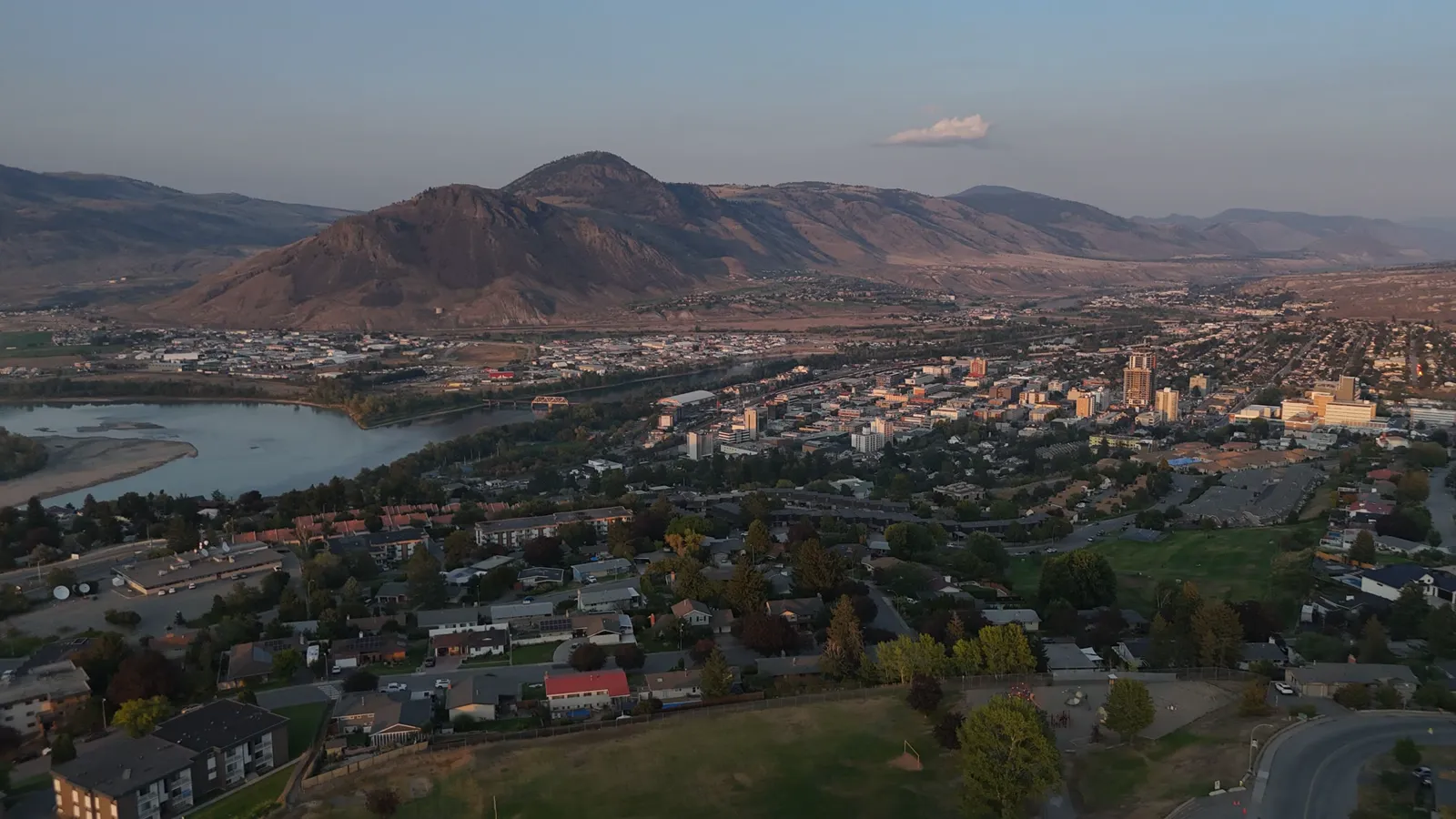
Using a drone for professional work requires more than just a device. At Hutton Aerographics, we operate with a Transport Canada Advanced RPAS pilot license. This ensures that all flights are conducted according to strict safety regulations. We also carry $2M in commercial liability insurance and utilize a Visual Observer certified crew for added safety during operations.
Whether you are in Kamloops, the BC Interior, or the Lower Mainland, we provide reliable aerial services tailored to the specific landscape of your property.
Contact Hutton Aerographics
To discuss your project or book a session, contact Hutton Aerographics at (250) 315-7222 or visit our website at https://huttonaerographics.ca.