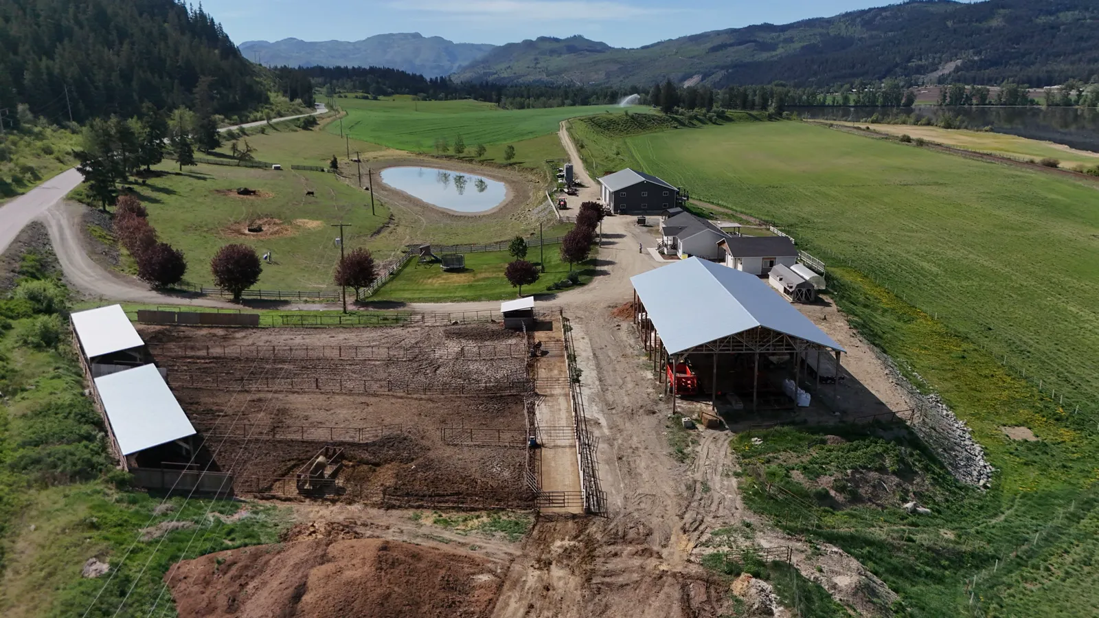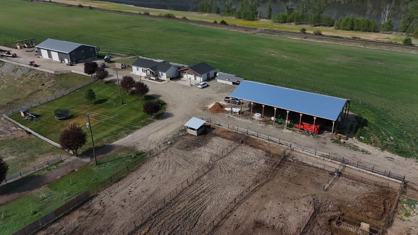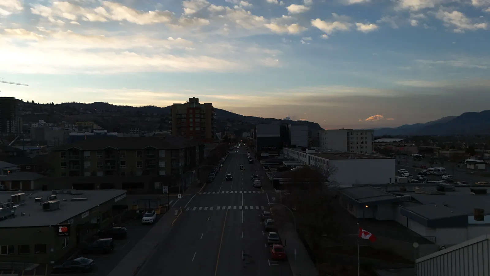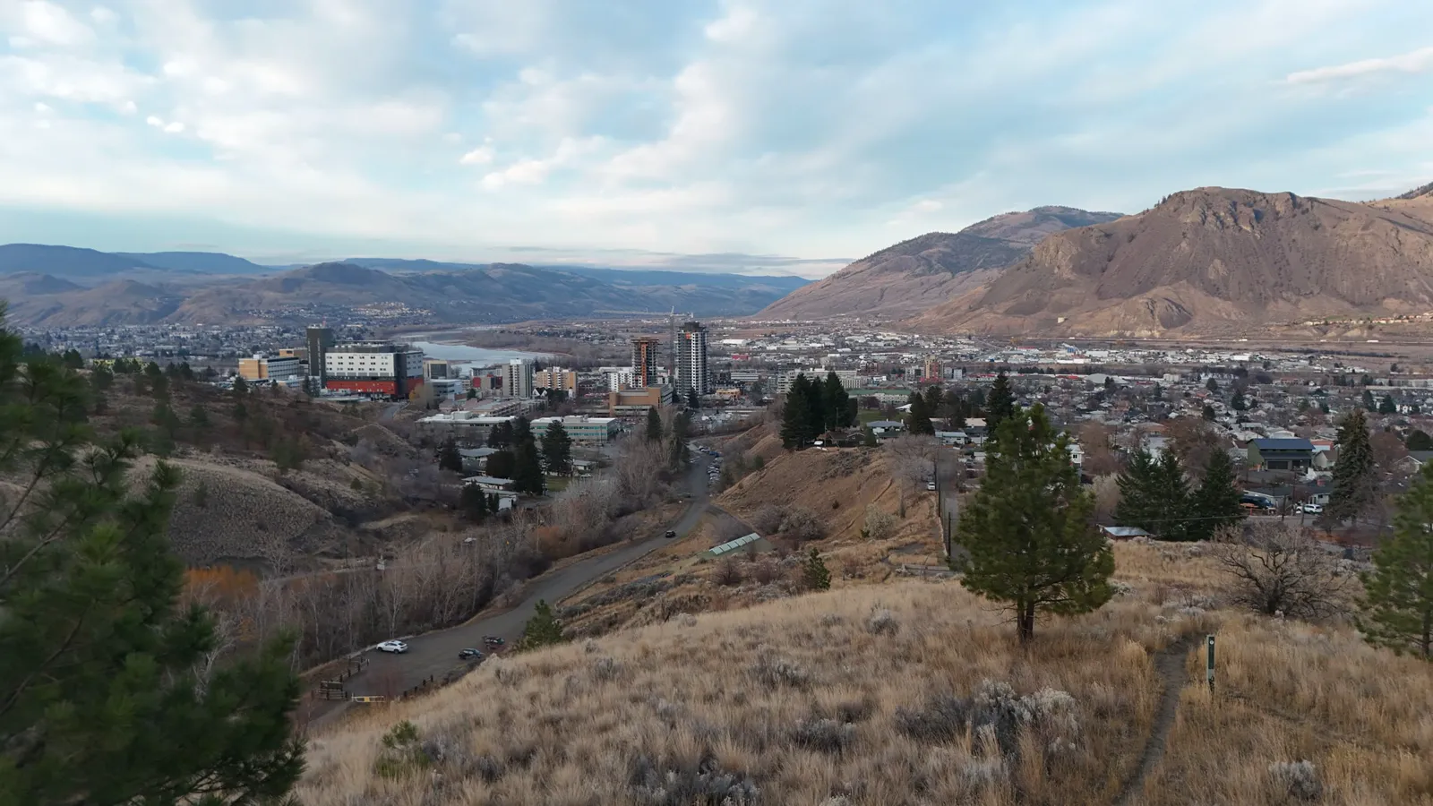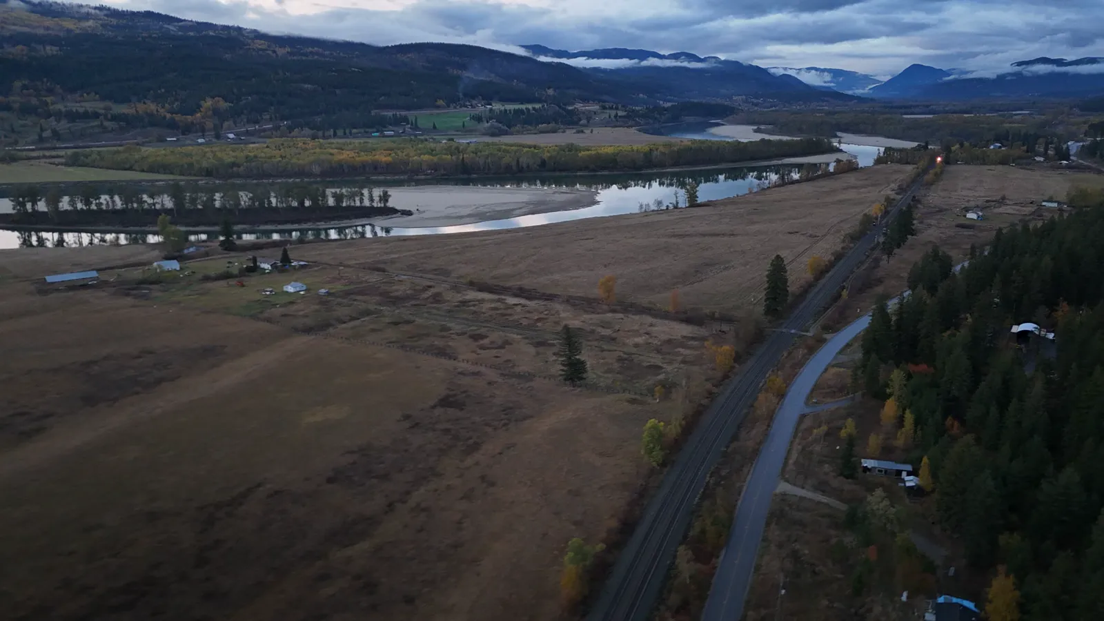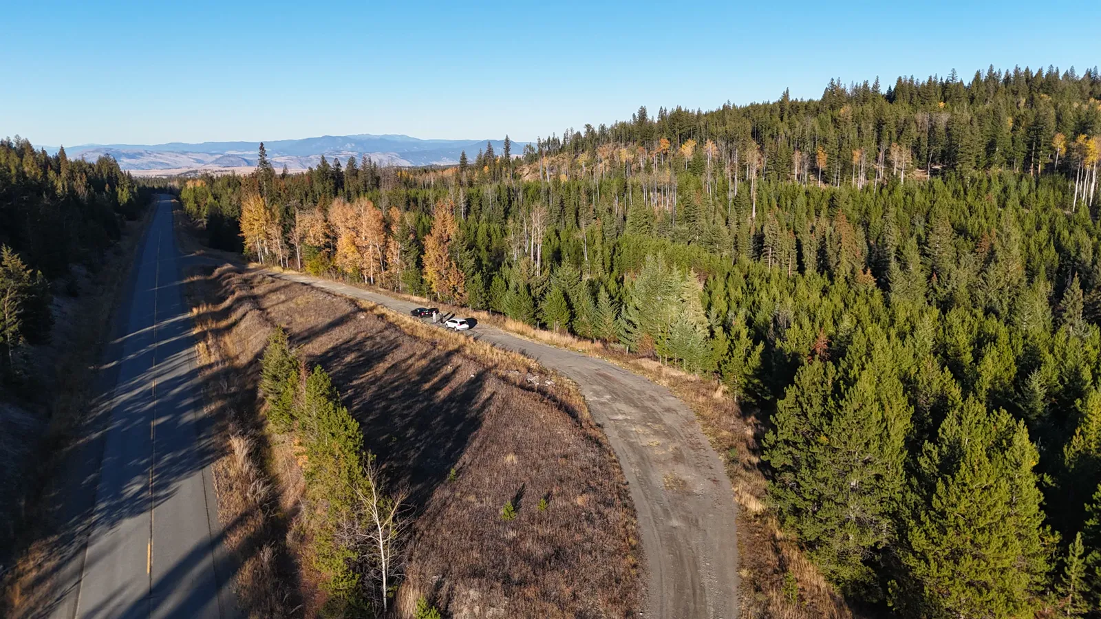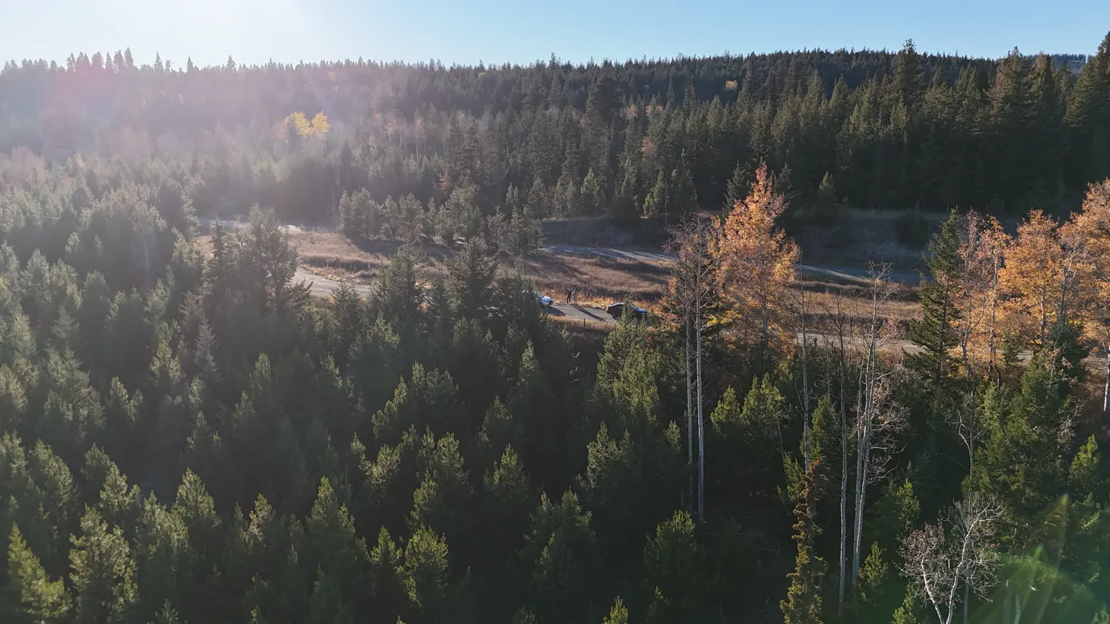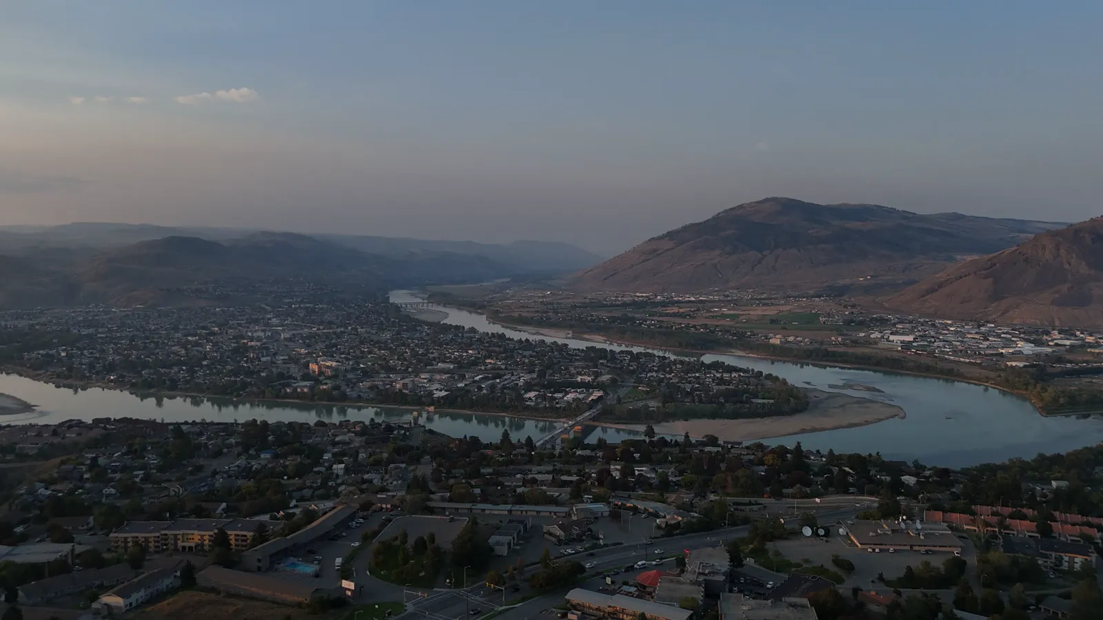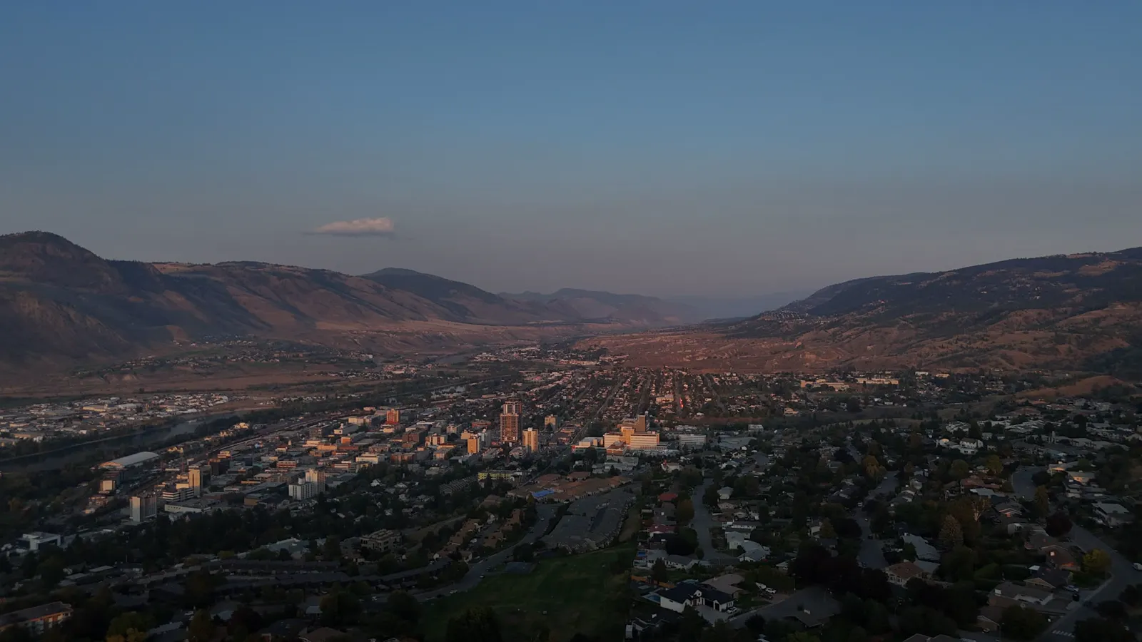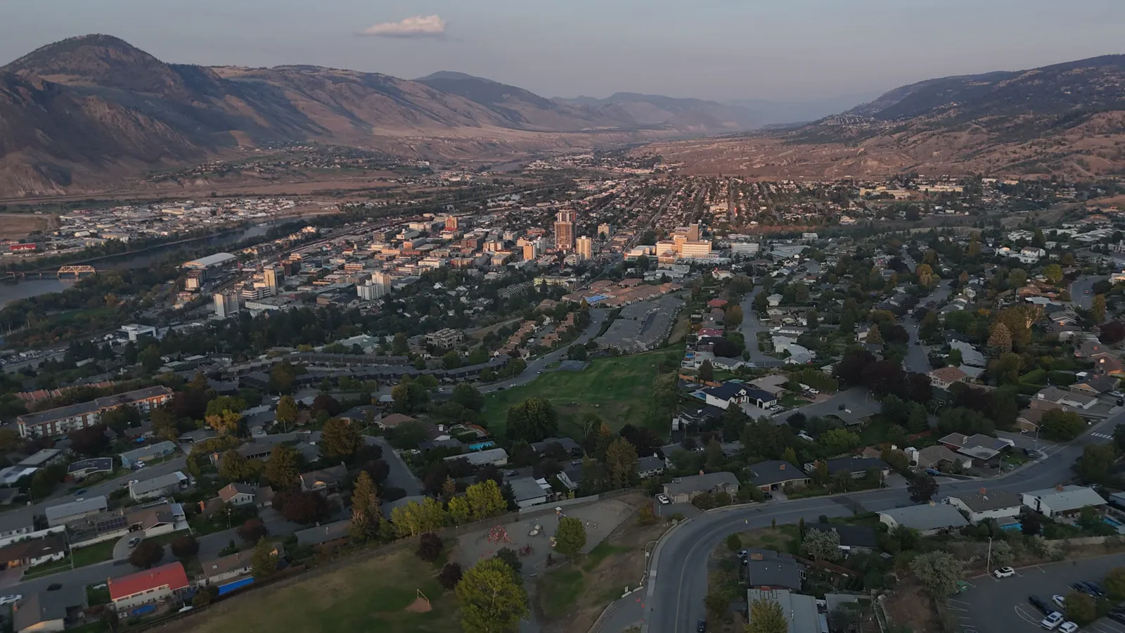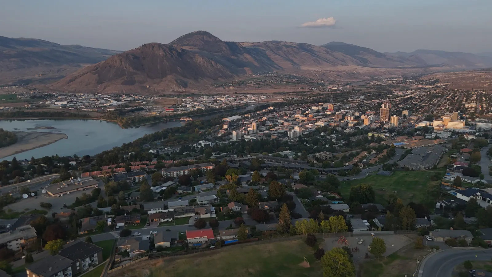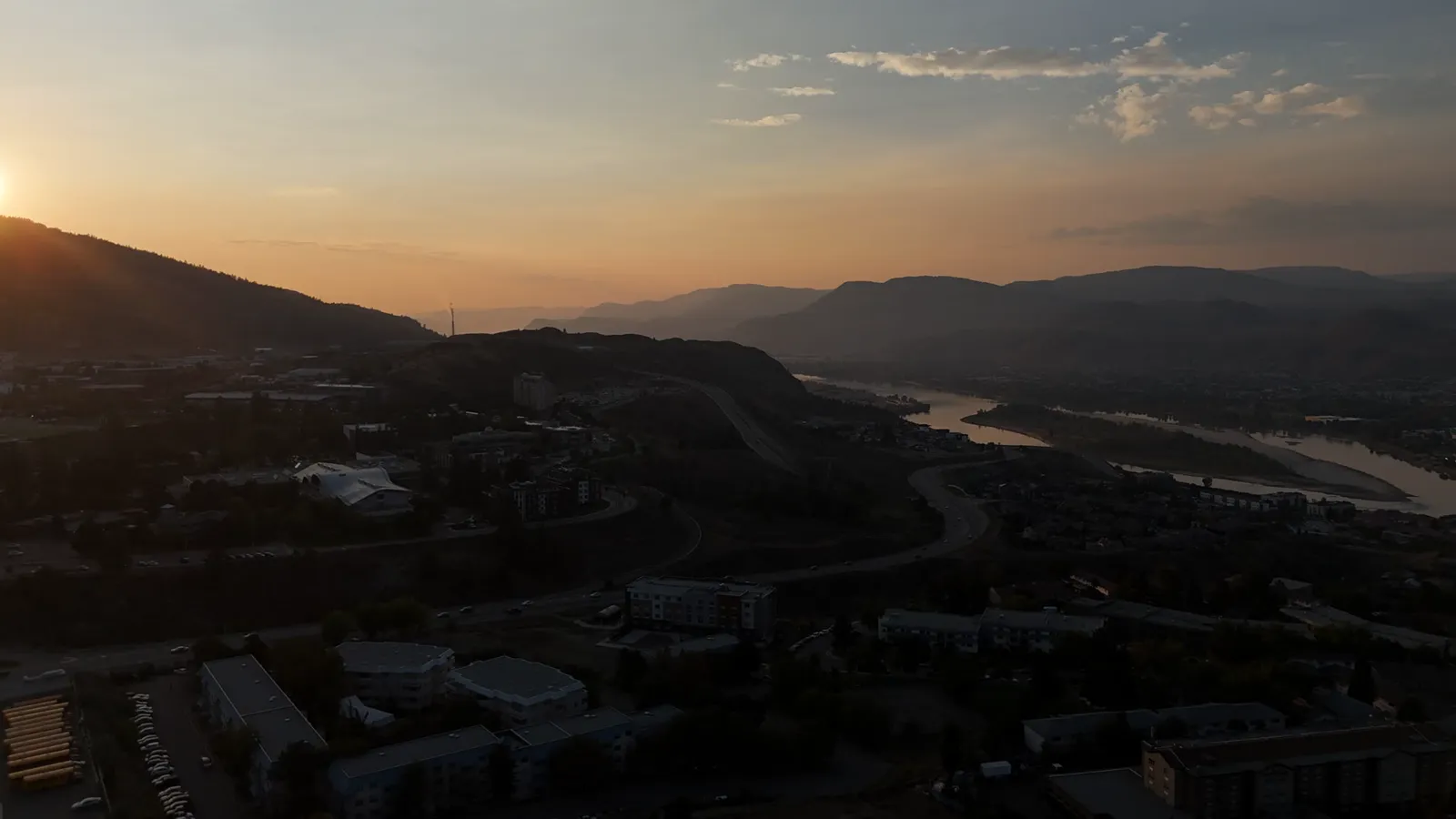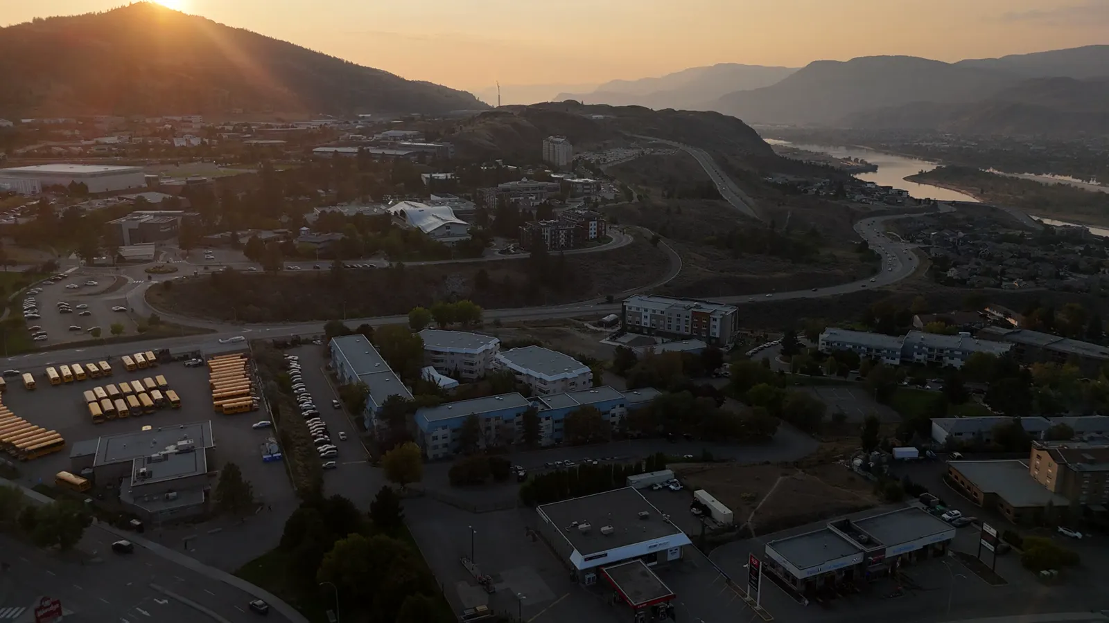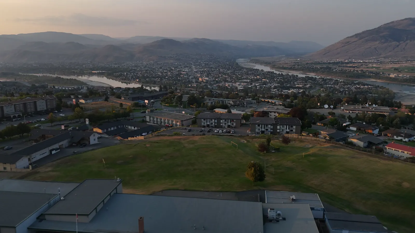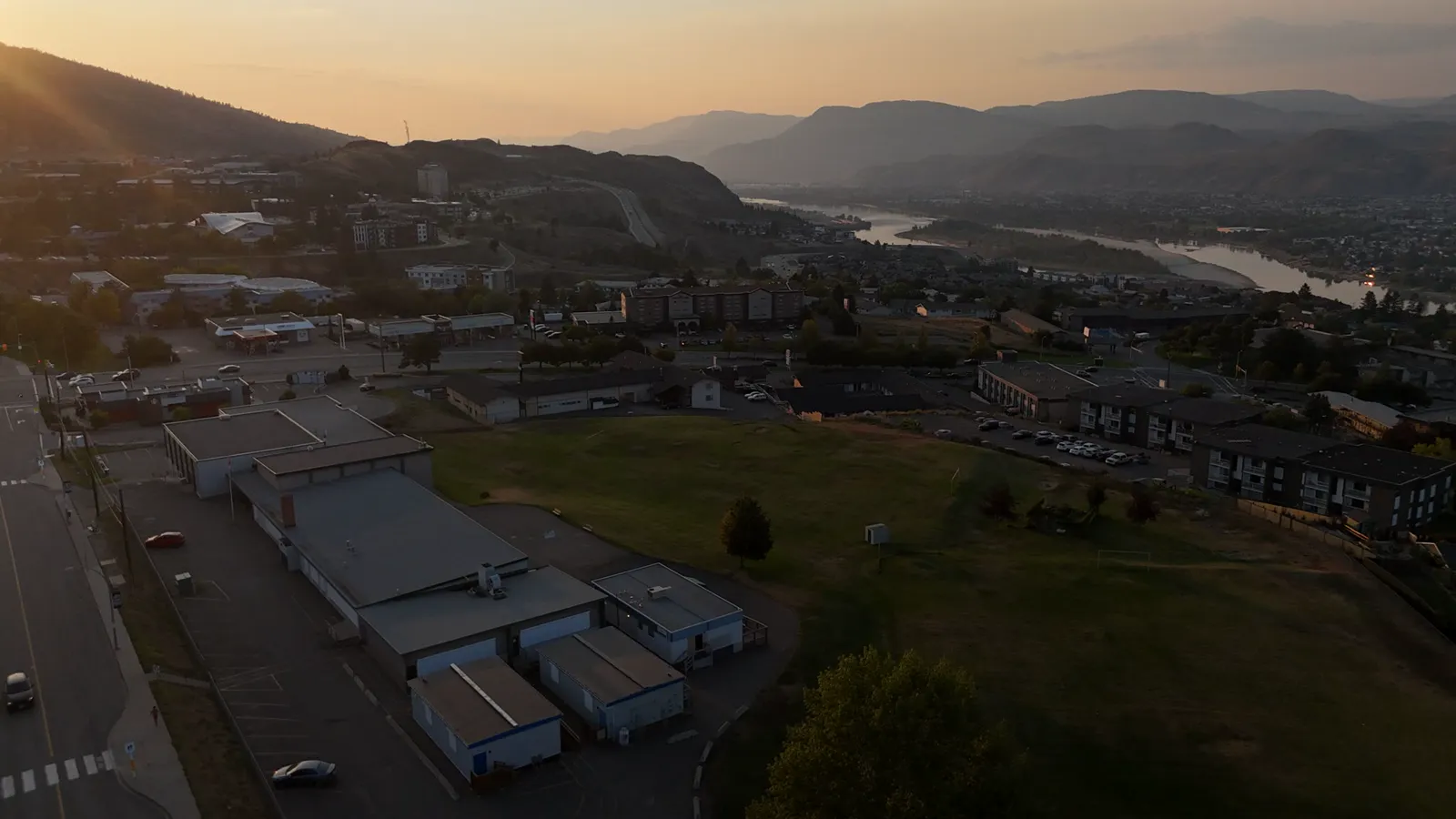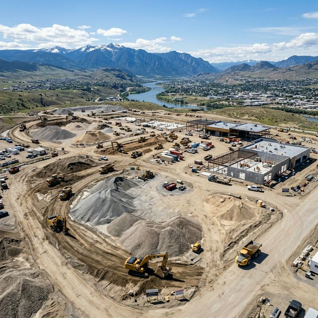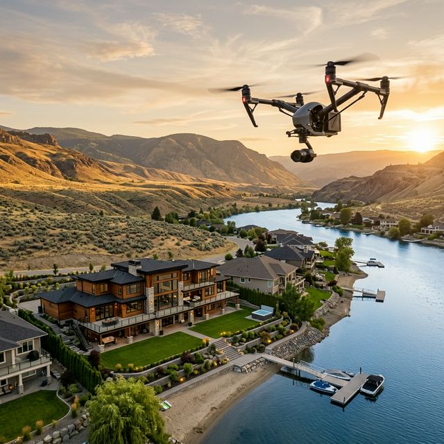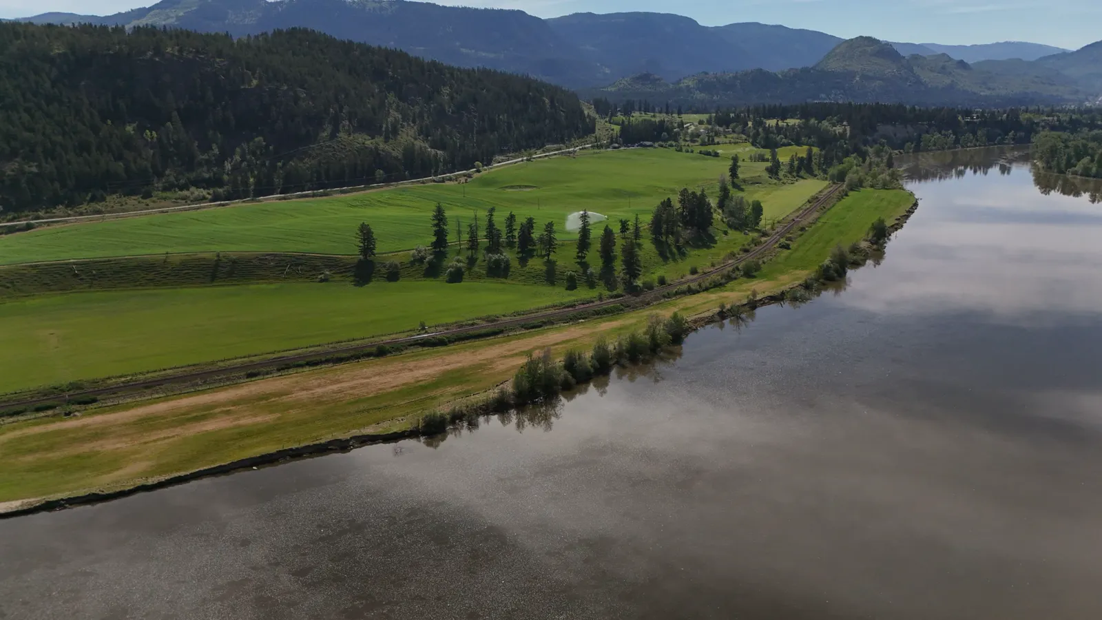
Drone Photography for Property Management in Vernon
Practical drone photography for property management in Vernon. Learn how aerial images help BC business owners maintain and market their assets effectively.
Expert drone photography tips, guides, and industry insights for Kamloops businesses and property owners. From real estate aerial photography to construction monitoring, volumetric analysis, and 3D modeling techniques.

Practical drone photography for property management in Vernon. Learn how aerial images help BC business owners maintain and market their assets effectively.

Enhance your Vernon business marketing with professional drone photography and 4K aerial video. Serving the BC Interior and more.

Use drone photography for marketing in Vernon and BC. Hutton Aerographics provides compliant aerial media for small businesses, real estate, and construction.

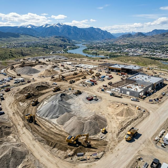
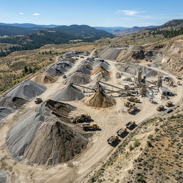
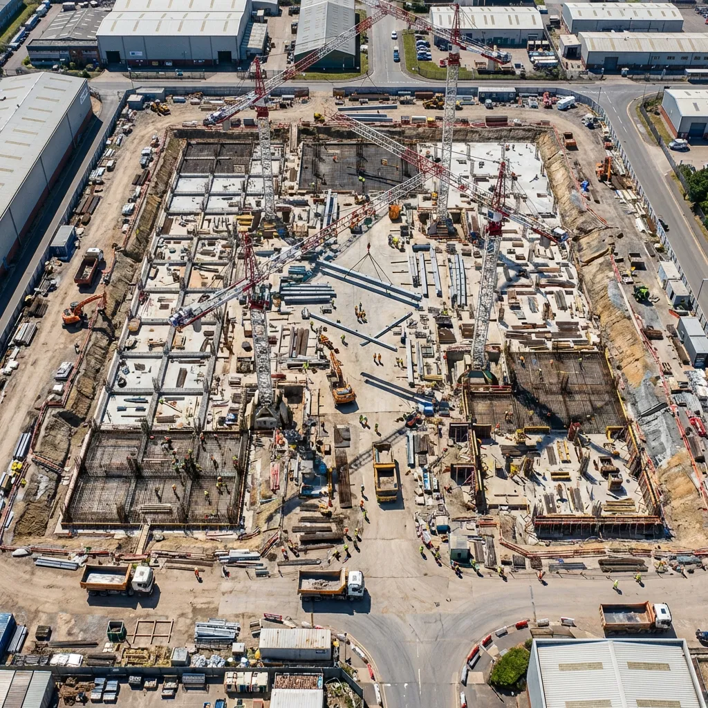
Professional drone photography and site documentation for construction projects in Vernon and the BC Interior. Progress monitoring and stockpile measurement.

Learn how 360 virtual tours in Vernon help BC small businesses attract customers. Explore the process, benefits, and how to plan your tour.

Professional 4K aerial video and photography for businesses in Vernon and the BC Interior. Construction, real estate, and promotional media services.

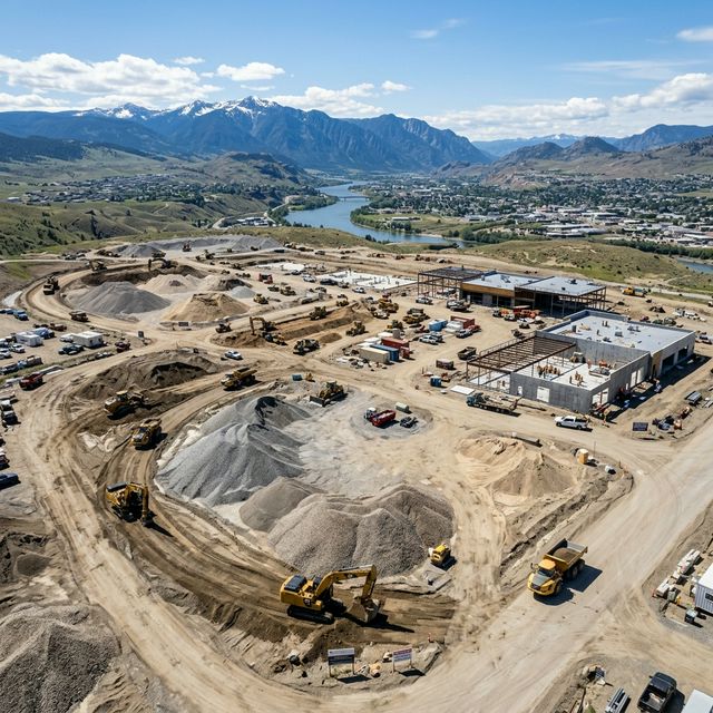
Track Vernon construction projects with consistent drone photos. Hutton Aerographics provides accurate aerial site documentation for BC builders and owners.

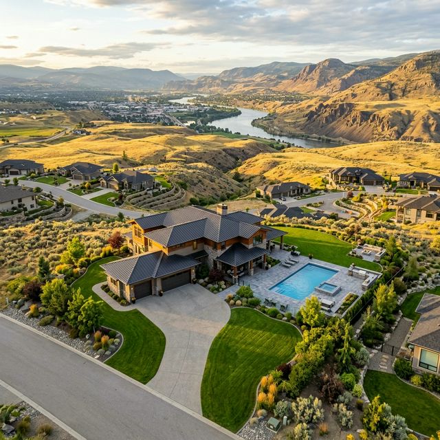
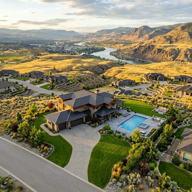
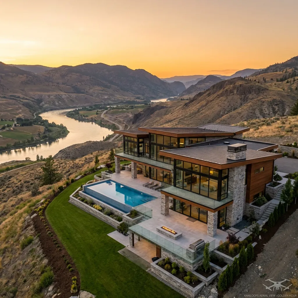
Practical guide for Vernon business owners on real estate drone photography. Learn how Hutton Aerographics captures accurate, compliant imagery for listings.

Use drone photography for property management in Kamloops. Learn how aerial imagery helps small business owners market rentals, document sites, and save time.

Professional drone photography and video for Kamloops businesses. Real estate, construction, and commercial media services across the BC Interior.

Professional drone services for construction progress, site documentation, and stockpile measurement in Kamloops and across British Columbia.

Learn how 360 virtual tours can help Kamloops and BC small businesses showcase residential or acreage properties through immersive digital experiences.

Professional aerial photography and drone services for Kamloops acreages and rural properties. Real estate imagery, site documentation, and more.

Professional 4K aerial video and photography for businesses in Kamloops and the BC Interior. Certified drone services for commercial promotion.

Document your BC construction site with professional drone photography and aerial video. Available in Kamloops, the Interior, and the Lower Mainland.

Professional real estate drone photography and 3D tours for Kamloops and BC properties. High-quality aerial imagery to help sell homes and land.

The four pillars of drone benefits — efficiency, cost reduction, safety, and data accuracy — that progressive Kamloops contractors are leveraging to lead the market.

From volumetric analysis to safety inspections, forward-thinking companies are leveraging drone technology to cut costs, improve safety, and deliver projects faster.

How drone-based cut/fill calculation transforms earthwork verification for BC construction projects, providing ±3cm accuracy with complete audit trails.

Properties with aerial photography sell 68% faster and command 10-15% higher prices. Here's why it's no longer optional for serious real estate professionals.

How aerial imagery is transforming real estate marketing in the Thompson-Nicola Region — with 40% more online views and 32% faster time-to-market.

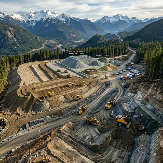
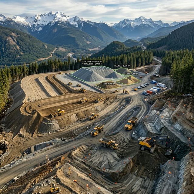
How drone volumetrics delivers 98% accuracy while reducing field time by 70% and eliminating worker exposure to hazardous stockpile environments.

A comprehensive guide to drone-based stockpile measurement providing ±3cm accuracy with zero worker exposure to hazardous conditions. Typical ROI: 300-500% annually.

Stop leaving money in stockpiles. Learn how photogrammetry delivers precise measurements in minutes, replacing days of dangerous manual surveying.

A complete guide to drone-based earthwork volume verification — delivering ±2% accuracy, same-day results, and 70% cost reduction vs. traditional surveying.

A comprehensive guide to drone-based stockpile measurement in British Columbia — delivering ±2% accuracy, 70% cost savings, and real-time inventory visibility.

A complete ROI analysis for BC realtors — when to invest in immersive virtual tours versus traditional photography, and how hybrid approaches maximize results.
![Real Estate Photography Pricing Guide Kamloops [2026]](/images/blog/real-estate-pricing-guide.png)
Real estate photography pricing in Kamloops for 2026: packages from $150 to $800+, and add-ons like 360° virtual tours and twilight conversion.

Discover how aerial photography is transforming property listings and helping real estate agents sell homes faster in the Kamloops market.

Learn how drones are improving safety, efficiency, and progress tracking on construction sites throughout Kamloops and surrounding areas.

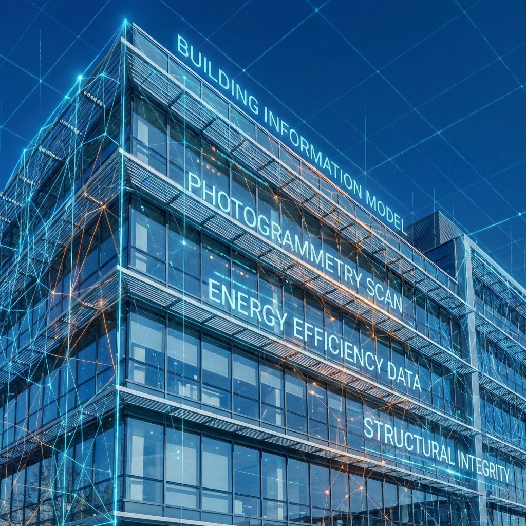
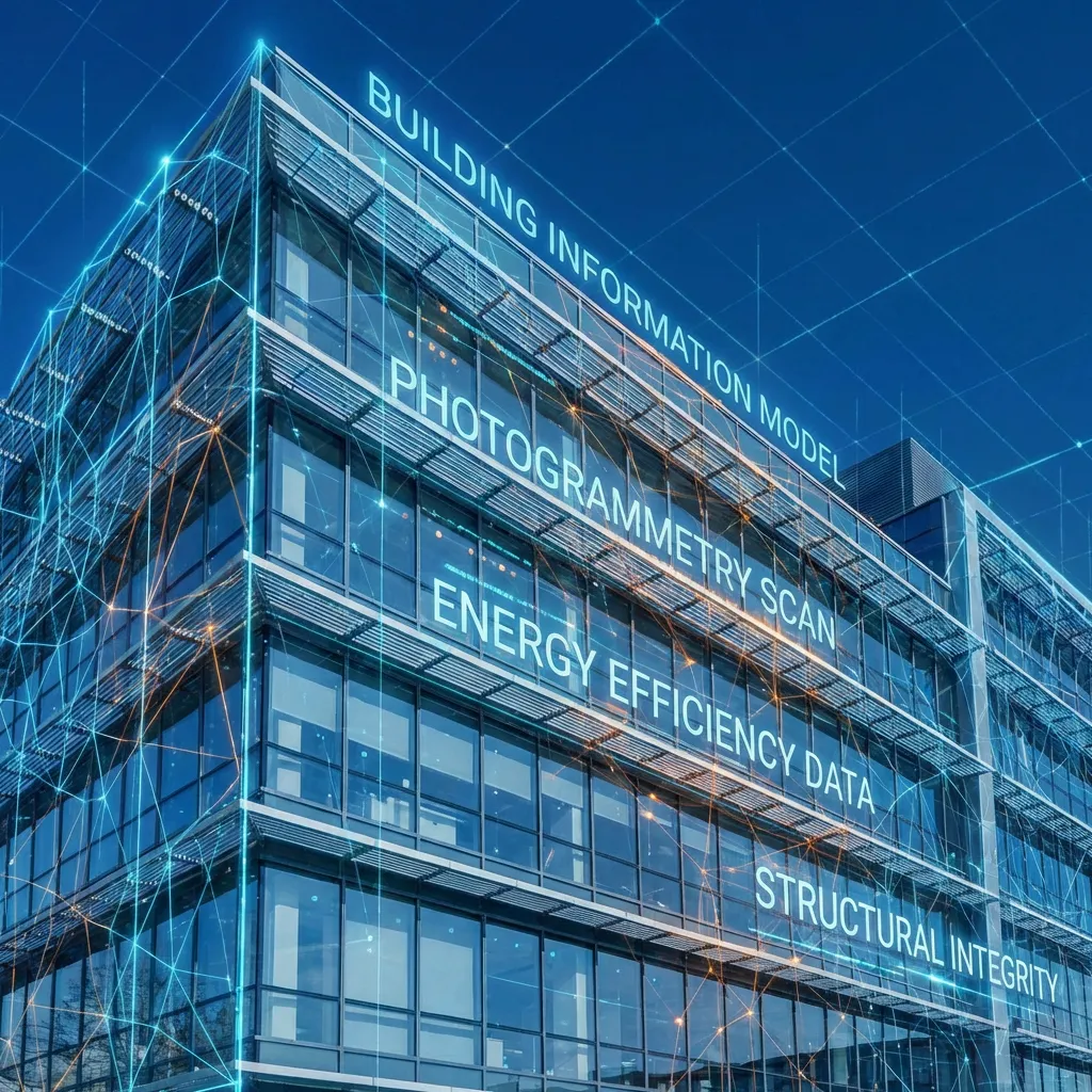
Understanding the benefits and applications of 3D building modeling for real estate, insurance, and construction projects in Kamloops.
From aerial photography to 3D building modeling, volumetric analysis, and construction monitoring, we provide professional drone services throughout Kamloops and surrounding areas.