Construction Progress Drone Photos in Kamloops
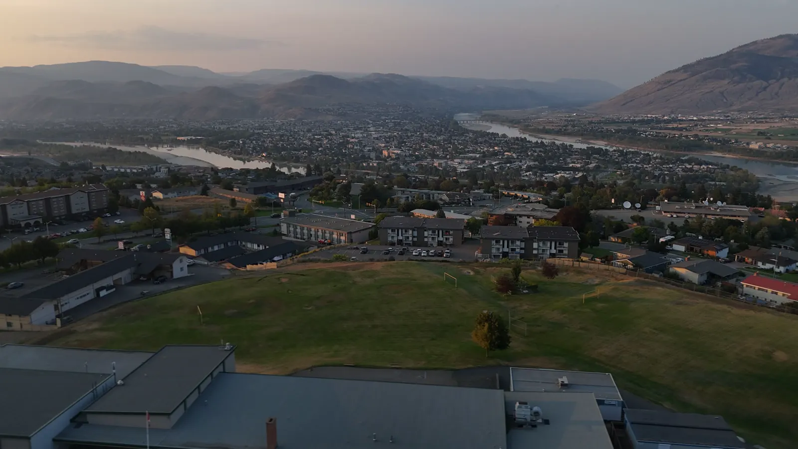
Documenting site development in British Columbia
Managing a construction site involves tracking many moving parts. For small business owners, developers, and general contractors in Kamloops and across the BC Interior, keeping an accurate record of site evolution is essential for staying on schedule and within budget. Traditional site visits are time-consuming and often only provide a ground-level perspective that may miss broader site issues.
Drone photography offers a way to capture the entire site from above. This bird's-eye perspective allows you to see the layout of materials, the movement of machinery, and the overall progress of the build without needing to walk the entire perimeter or climb scaffolding. This high-level view is particularly useful for identifying logistical bottlenecks or verifying that site work is proceeding according to the original design.
How aerial site documentation works
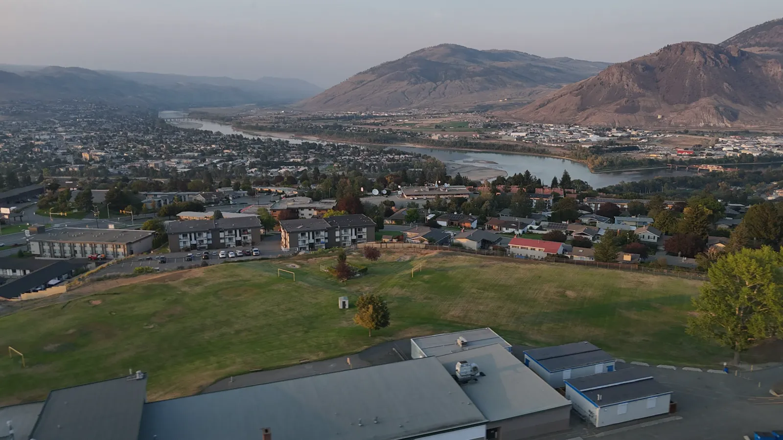
Our process for construction monitoring is designed to be straightforward for busy project managers. We provide high-resolution imagery and video that can be used for various administrative, legal, and marketing needs. We offer different levels of service depending on the technical requirements of your build.
Progress photos and video
Regularly scheduled flights provide a visual timeline of your project. These photos show the transition from initial excavation and foundation work to framing, roofing, and finally to the finished structure. This documentation is useful for several key business functions:
- Stakeholder updates: Provide clear, visual proof of milestones to investors, lenders, or clients without them needing to visit the site.
- Compliance and verification: Verify that work matches the site plans and that materials are being stored in the correct locations.
- Liability protection: Maintain a historical record of every phase of the build. In the event of a dispute or an insurance claim, having a chronological visual record of the site's state can be invaluable.
Advanced mapping and measurements
For projects requiring more than just visual updates, we offer technical data collection. This moves beyond simple photography into precise site documentation that can assist in project planning and inventory management.
- Orthomosaic maps: These are high-resolution, geometrically corrected maps created by stitching multiple drone images together. Unlike a standard photo, an orthomosaic map is scaled and undistorted, providing a flat, accurate map of your site. You can use these maps to measure distances, identify site boundaries, and plan the placement of equipment.
- Point cloud export: For more advanced technical needs, we can provide point cloud data. This provides a highly detailed 3D representation of the site surfaces, which can be integrated into various engineering and surveying workflows.
- Stockpile measurement: Managing raw materials like gravel, sand, or soil is a constant task. We use drone technology to perform volumetric measurements of stockpiles. This helps you track inventory levels and estimate remaining material needs without the need for manual measurement or dangerous climbing.
Why use professional drone services
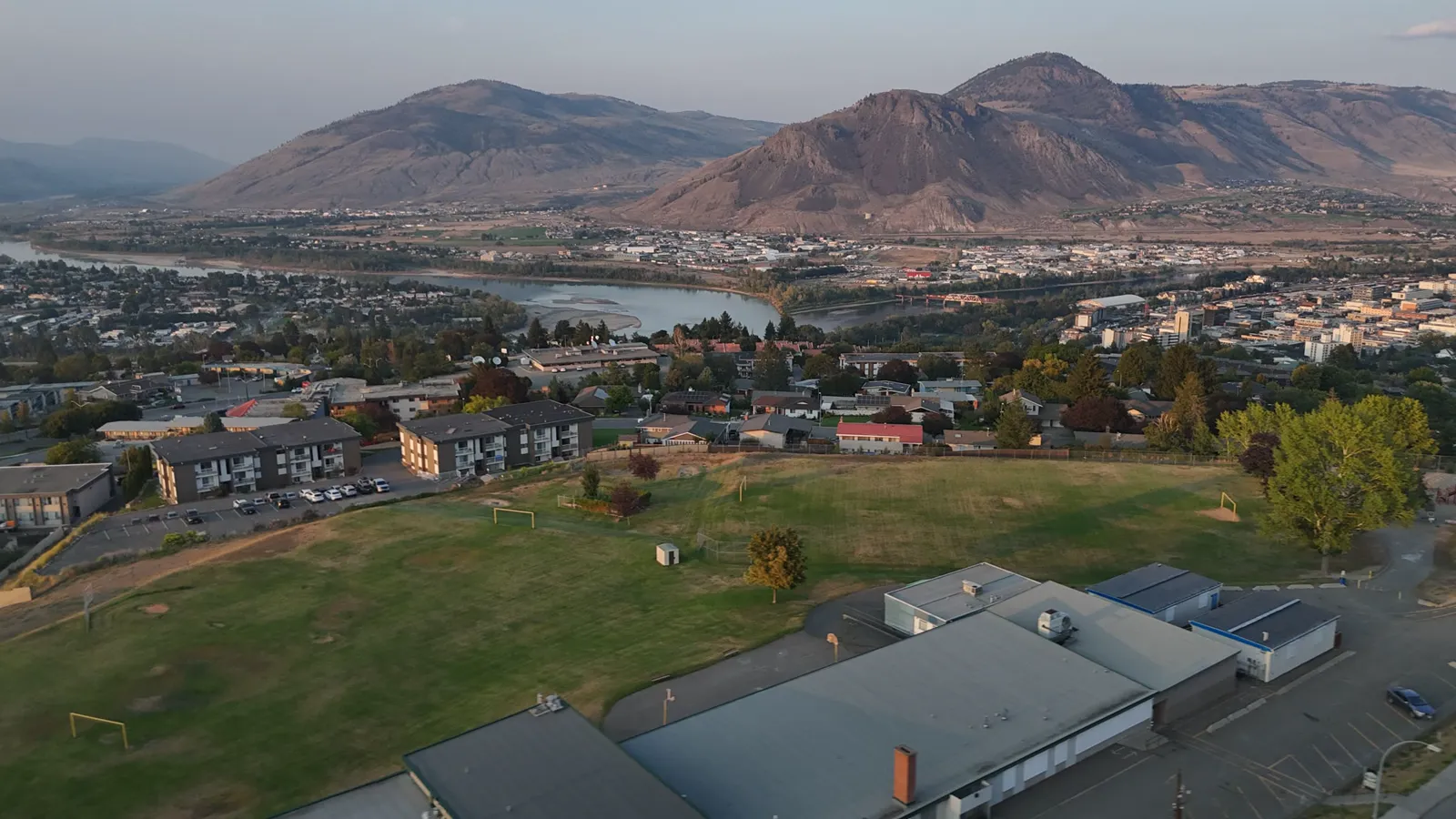
Using a professional service ensures that the data collected is accurate and the operation is conducted safely and legally. We operate as Transport Canada Advanced RPAS pilots and carry $2M in commercial liability insurance. Our crew also includes Visual Observer certified members to maintain safety on active sites where workers and heavy machinery are in constant motion.
Because our lead is a Red Seal carpenter, we understand the specific stages of a build. We know which milestones are most important to document and how to identify potential issues from the air before they become costly delays. We speak the language of construction, which means we understand the importance of timing and accuracy on a job site.
Service areas and booking
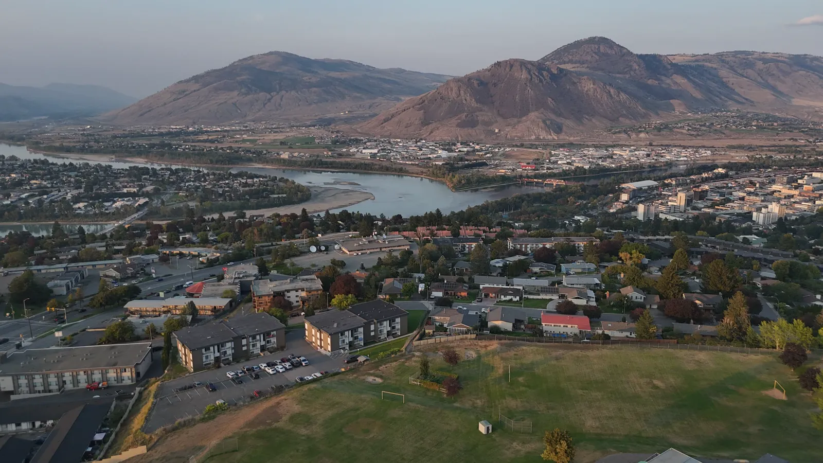
We serve Kamloops, the BC Interior, and the Lower Mainland. Whether you are working on a small residential renovation or a larger commercial development, we provide consistent and reliable site documentation.
If your project is located outside Kamloops city limits, a travel fee of $0.55/km applies.
New clients receive 20% off their first booking. We offer various service levels, from basic progress photos and video to premium packages that include orthomosaic mapping and point cloud exports.
To learn more or to book a site visit, contact Hutton Aerographics at (250) 315-7222 or visit https://huttonaerographics.ca.