Drone Photography for Property Management Kamloops
Why Property Managers in Kamloops Are Using Drones
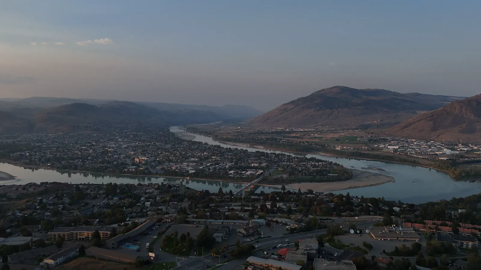
Managing rental properties, commercial sites, or acreages in the BC Interior requires more than just checking boxes. It requires clear communication with tenants, accurate maintenance records, and effective marketing to attract new occupants. Standard ground-level photography often misses the full context of a property. It cannot show the roof condition, the surrounding land features, or the proximity to major roads and amenities.
Drone photography provides a complete view. For property managers in Kamloops and surrounding towns, this tool offers a practical way to document asset conditions and market listings more effectively. It is not about creating flashy videos. It is about capturing accurate, compliant, and useful imagery that helps you make informed decisions.
This approach is particularly useful for small business owners who handle their own property portfolios. You need reliable data without hiring a large team. Using a local drone service allows you to get professional results quickly, keeping your operations streamlined.
How Aerial Imagery Helps with Marketing Rentals
When you list a rental property or a commercial space, the first impression matters. Most potential tenants will look at online photos before they ever visit the site. Ground-level shots show the interior, but they do not show the lot size, the layout of the yard, or the view from the property.
Drone photography captures the exterior and the surrounding area in a single shot. This helps tenants understand the scale of the property. For example, an acreage outside Kamloops city limits benefits greatly from aerial photos that show the boundaries, the driveway access, and any outbuildings. This reduces the number of viewings for properties that do not fit the tenant needs, saving you time.
Hutton Aerographics provides real estate photography packages that include both interior and exterior drone imagery. These images are suitable for MLS listings, social media ads, and your own website. The goal is to present the property honestly and comprehensively. This transparency builds trust with prospective tenants from the start.
Documenting Maintenance and Construction Progress
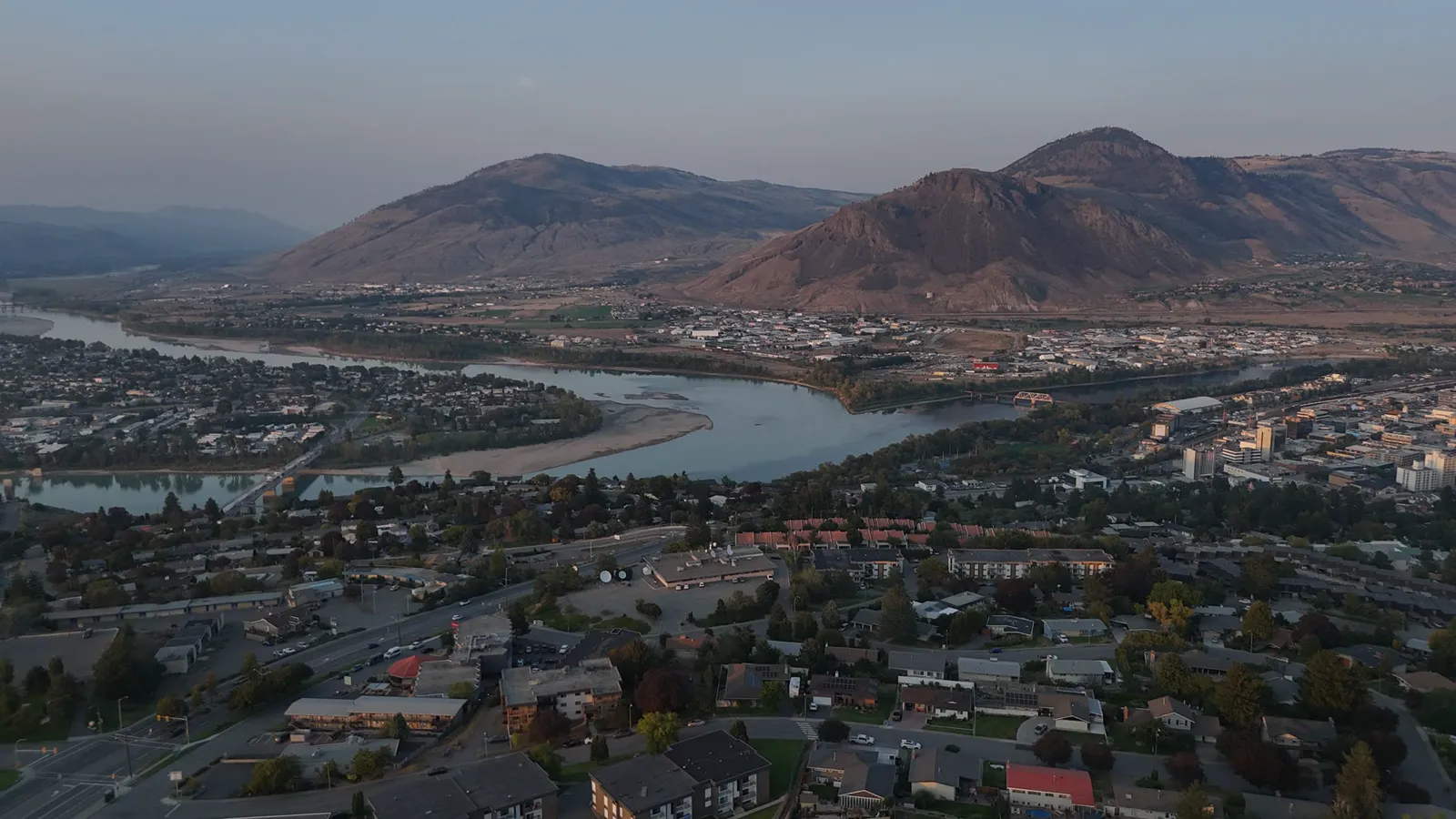
Property management involves regular maintenance. Whether it is a roof repair, a landscaping update, or a new construction project on a rental site, you need to track progress. Ground-level photos can be misleading. They might not show the full extent of damage or the completion of a job.
Aerial documentation provides an objective record. You can compare photos taken at different stages of a project. This is essential for verifying that contractors have completed the work as agreed. It also helps in managing insurance claims if damage occurs. Having a clear visual history of the property’s condition is a valuable asset for any property manager.
For construction sites or properties undergoing renovation, Hutton Aerographics offers construction progress and site documentation. This service includes progress photos and aerial video. For more detailed needs, such as orthomosaic maps or point cloud exports, higher-tier packages are available. This level of detail helps you monitor site safety and progress without being physically present on every corner of the job.
Inspecting Roofs and Buildings Safely
Inspecting roofs and high structures is risky and time-consuming. Climbing ladders and walking on steep roofs exposes your staff to safety hazards. It also disrupts tenants if you need to access their property frequently for checks.
Drone thermal inspections offer a safer alternative. A drone equipped with a thermal camera can detect heat leaks, moisture intrusion, and insulation issues from the ground. This is particularly useful for flat roofs or steep pitched roofs that are difficult to access. The data collected helps you plan maintenance before small issues become expensive repairs.
Hutton Aerographics provides thermal inspections for roofs and buildings. This service is part of a broader suite of inspection tools. By identifying problems early, you can reduce long-term maintenance costs and keep your properties in better condition. This is a practical step for property managers who want to minimize downtime and unexpected repair bills.
Measuring Stockpiles and Land Areas
If your property management portfolio includes industrial sites, construction yards, or large acreages, you may need to measure stockpiles of materials like gravel, sand, or mulch. Traditional measurement methods are slow and require manual effort. They also carry safety risks if the piles are unstable.
Drone volumetric measurement is a faster and more accurate method. The drone flies over the stockpile, capturing images that are used to calculate the volume. This data helps you track inventory levels and manage material orders more efficiently. It is a small task that saves significant time when done repeatedly.
Hutton Aerographics offers stockpile measurement services using drone technology. This ensures that your measurements are consistent and reliable. You can use this data for billing, inventory management, or project planning. It removes the guesswork from managing large material stocks on your properties.
Creating Interactive Virtual Tours
Some tenants prefer to view properties online before scheduling a visit. This is especially true for out-of-town renters or commercial clients who are relocating. A static set of photos may not convey the feel of the space.
360-degree virtual tours provide an immersive experience. Tenants can look around the interior of a property at their own pace. This helps them visualize how they would use the space. It also filters out tenants who are not a good fit, as they can see the full layout and condition of the property.
Hutton Aerographics creates 360-degree virtual tours for residential and acreage properties. These tours are interactive and can be embedded in your listing websites. The price for this service ranges from $100 to $150+, depending on the size and complexity of the property. This is a cost-effective way to enhance your marketing efforts and improve tenant engagement.
Working with a Local Kamloops Provider
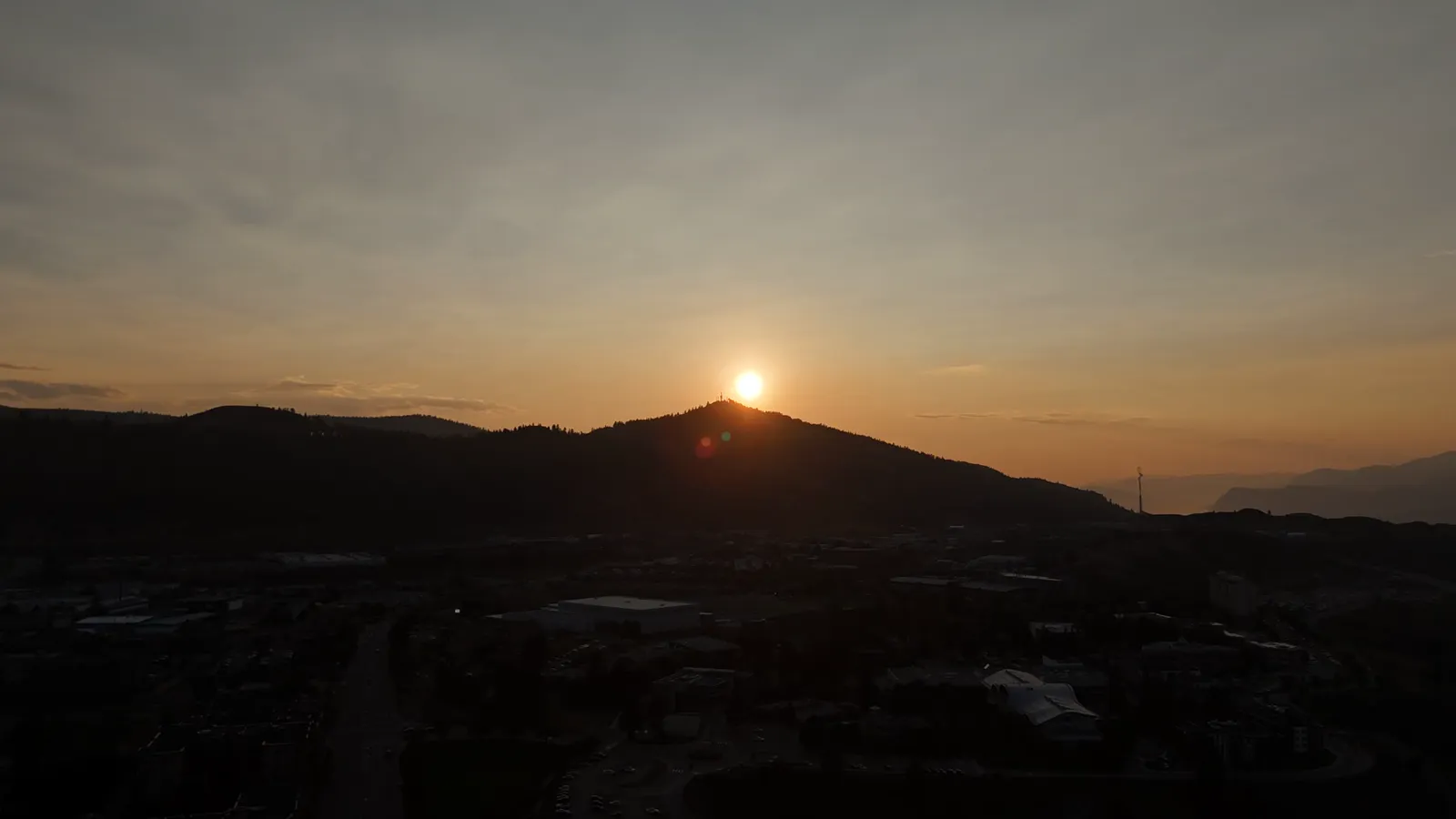
Choosing a drone service provider in Kamloops has practical advantages. Local providers understand the specific regulations and airspace constraints of the BC Interior. They are familiar with the terrain and weather patterns that can affect flight safety. This local knowledge ensures that your project proceeds smoothly without unexpected delays.
Hutton Aerographics is based in Kamloops and serves the BC Interior and the Lower Mainland. The team includes Transport Canada Advanced RPAS pilots and Visual Observer certified crew members. This certification ensures that all flights are conducted safely and in compliance with federal regulations. You can trust that your data is collected legally and securely.
The company also carries $2M in commercial liability insurance. This protects you as a client in the unlikely event of an incident. Additionally, the lead pilot is a Red Seal carpenter. This background means the team understands construction and building structures, which is valuable when documenting sites or inspecting buildings. You are working with professionals who understand both the technology and the industry.
Pricing and Booking Considerations
Understanding the cost structure helps you plan your property management budget. Hutton Aerographics offers transparent pricing for various services. Real estate photography starts from $150. This package includes interior and exterior photos with drone imagery. Video is available on Premium packages and above.
Construction progress documentation starts from $299. This includes photos and video, with advanced mapping options available for more complex projects. Commercial video and promotional media start from $249, with full-day productions available for larger campaigns. Thermal inspections and stockpile measurements are priced based on the specific requirements of the job.
New clients receive a 20% discount on their first booking. This is a practical way to test the service for your property portfolio. For projects outside of Kamloops city limits, a distance fee of $0.55 per kilometer is added. This covers travel time and fuel costs, ensuring that services are available to property managers in smaller towns across the region.
How to Get Started
Integrating drone photography into your property management routine does not have to be complicated. Start by identifying the properties that would benefit most from aerial imagery. This might include new listings, sites with ongoing maintenance, or properties with large land areas. Contact Hutton Aerographics to discuss your specific needs. You can reach them by phone at (250) 315-7222 or visit their website at https://huttonaerographics.ca to learn more about their services and schedule a consultation.