Real Estate Drone Photography in Kamloops and BC
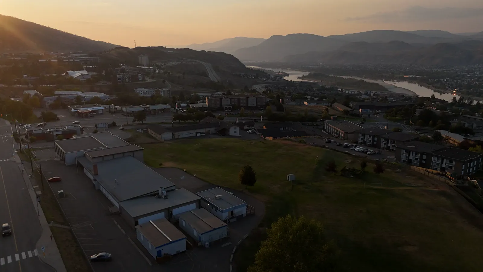
Improving Property Listings with Aerial Imagery
When listing a property in Kamloops or the surrounding BC Interior, the way you present the land and the home matters. Standard ground-level photos often fail to show the full context of a property, especially for larger acreages or homes with unique geographic features.
Drone photography allows potential buyers to see the layout of the land, the proximity to local landmarks, and the overall scope of the lot from a bird's-eye view. This perspective is particularly useful for properties in rural areas where the relationship between the house, the driveway, and the surrounding landscape is a primary selling point.
How Drone Photography Works for Real Estate
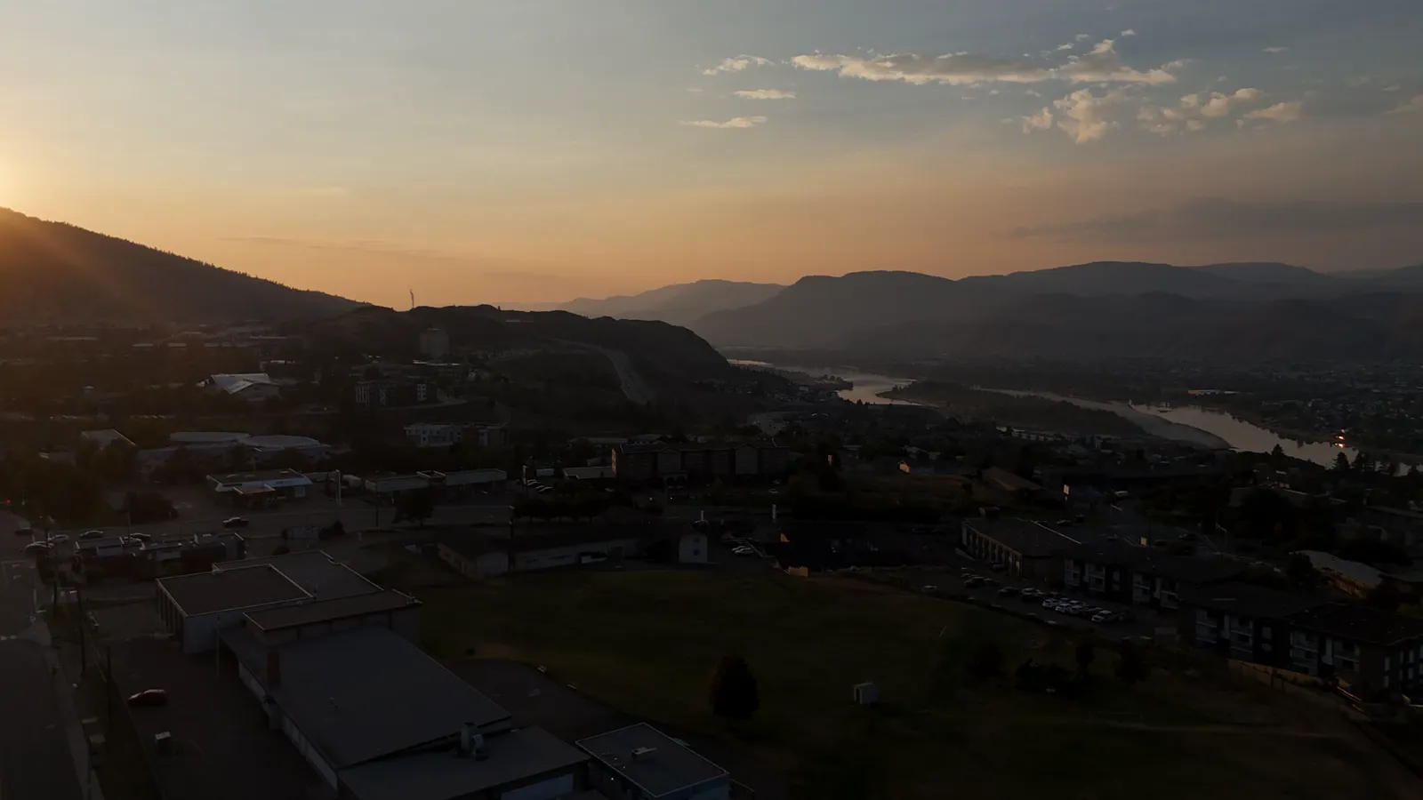
Working with a professional drone pilot involves more than just flying a camera in the air. It requires planning for lighting, weather, and airspace regulations.
For a standard residential listing, the process typically involves:
- Site Assessment: Evaluating the property to determine the best angles for both interior and exterior shots.
- Flight Execution: Capturing high-resolution aerial photos and 4K video that highlight the property's best features.
- Post-Processing: Ensuring the colors and lighting in the aerial shots match the ground-level photography for a cohesive look.
In addition to standard photos, 3D virtual tours can be used to provide an interactive experience. These tours allow remote buyers to walk through a home digitally, which is a valuable tool for those relocating to the Kamloops area from other parts of the province or Canada.
Beyond Residential: Commercial and Construction Uses
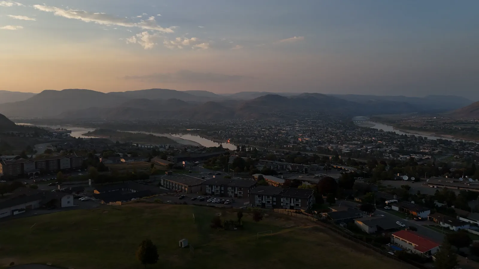
Drone technology is not limited to residential real estate. Small business owners in the construction and industrial sectors can use aerial imagery for more than just marketing.
Construction Progress Documentation For builders and developers, drones provide a consistent way to document a site's evolution. Regular aerial photos and video can be used to track progress, communicate with stakeholders, or provide updates to clients without needing to visit the site daily.
Site Intelligence For larger commercial projects, more advanced tools like orthomosaic maps or point cloud exports can provide detailed site intelligence. This data is helpful for measuring distances, mapping terrain, and managing large-scale developments.
Safety and Compliance in British Columbia
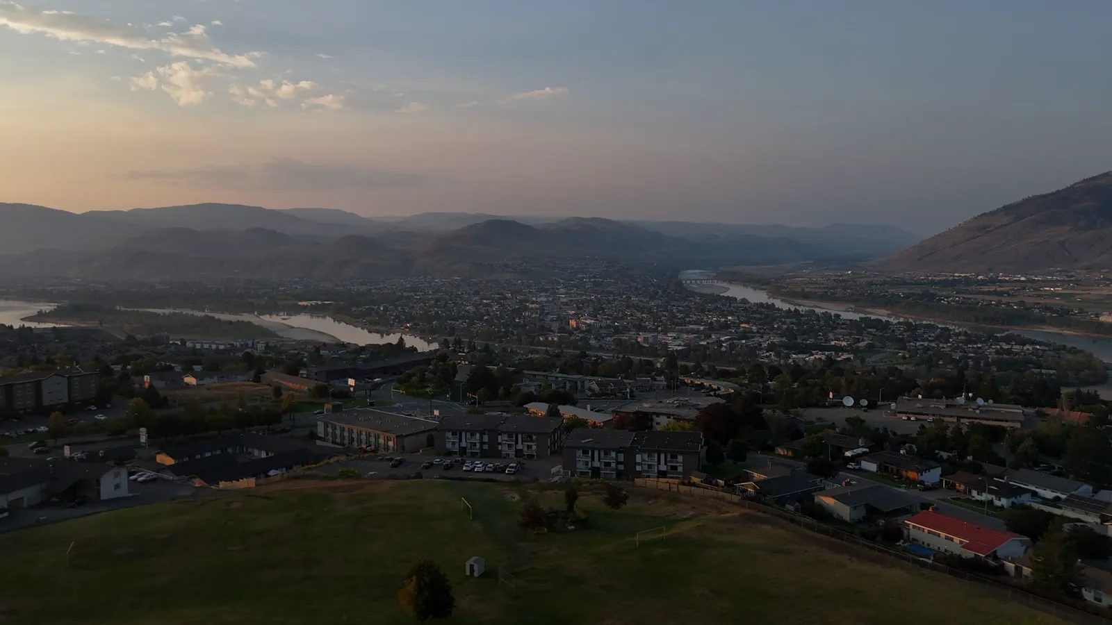
Not all drone flights are equal. When hiring a pilot, it is important to ensure they are operating within Transport Canada regulations. This ensures the safety of the pilot, the property, and the public.
Professional services typically include commercial liability insurance and certified pilots. For example, Hutton Aerographics operates with $2M in commercial liability insurance and utilizes Transport Canada Advanced RPAS certified pilots and Visual Observer certified crews to manage flight safety.
Working with a Local Provider
Choosing a provider that understands the local geography of the BC Interior and the Lower Mainland can make a difference. Local pilots are familiar with the specific lighting conditions and weather patterns of the region, which helps in scheduling flights that yield the best visual results.
Whether you are a realtor looking to elevate a listing or a business owner needing site documentation, drone imagery provides a clear, professional view of your assets.
To learn more about available services or to book a session, contact Hutton Aerographics at (250) 315-7222 or visit https://huttonaerographics.ca.