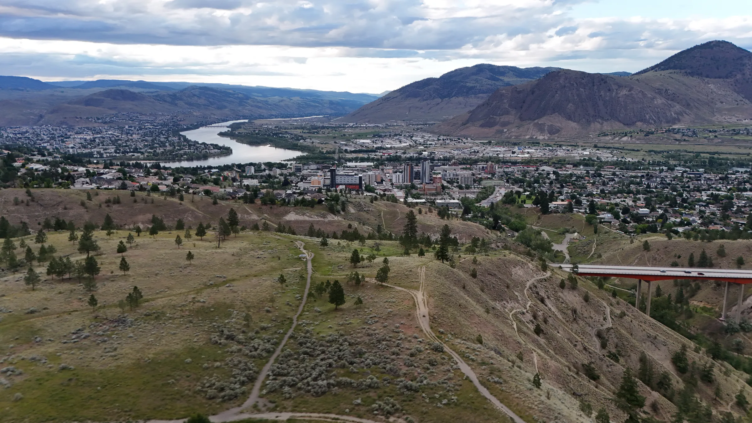
3D Building & Site Modeling with Drones — Kamloops, BC
Turn aerial photos into accurate 3D models using photogrammetry. Perfect for as-built documentation, BIM workflows, and pre-construction planning. Get point clouds, textured meshes, and CAD-ready exports.
What You Can Do with 3D Models
As-Built Documentation
Capture the current state of buildings or sites for renovation planning and record-keeping.
BIM Integration
Generate point clouds and mesh models that integrate directly into Revit, AutoCAD, and other BIM software.
Pre-Construction Visualization
Create accurate 3D models of sites to plan layouts, identify constraints, and communicate with stakeholders.
Solar & Roofing Design
Precise roof measurements and 3D models for panel placement and material estimation without climbing.
How Drone Photogrammetry Works
Aerial Data Capture
We fly the drone in an automated pattern, capturing hundreds of overlapping high-resolution photos from multiple angles.
Photogrammetry Processing
Specialized software (PIX4D, WebODM) stitches the photos together and reconstructs the 3D geometry using computer vision.
Deliverables
You receive point clouds, textured 3D meshes, and CAD-compatible files ready for your workflow.
Accuracy & Detail
3D models typically achieve 2-5cm accuracy and capture millions of points, providing highly detailed representations of buildings, terrain, and infrastructure.
Kamloops 3D Modeling Projects
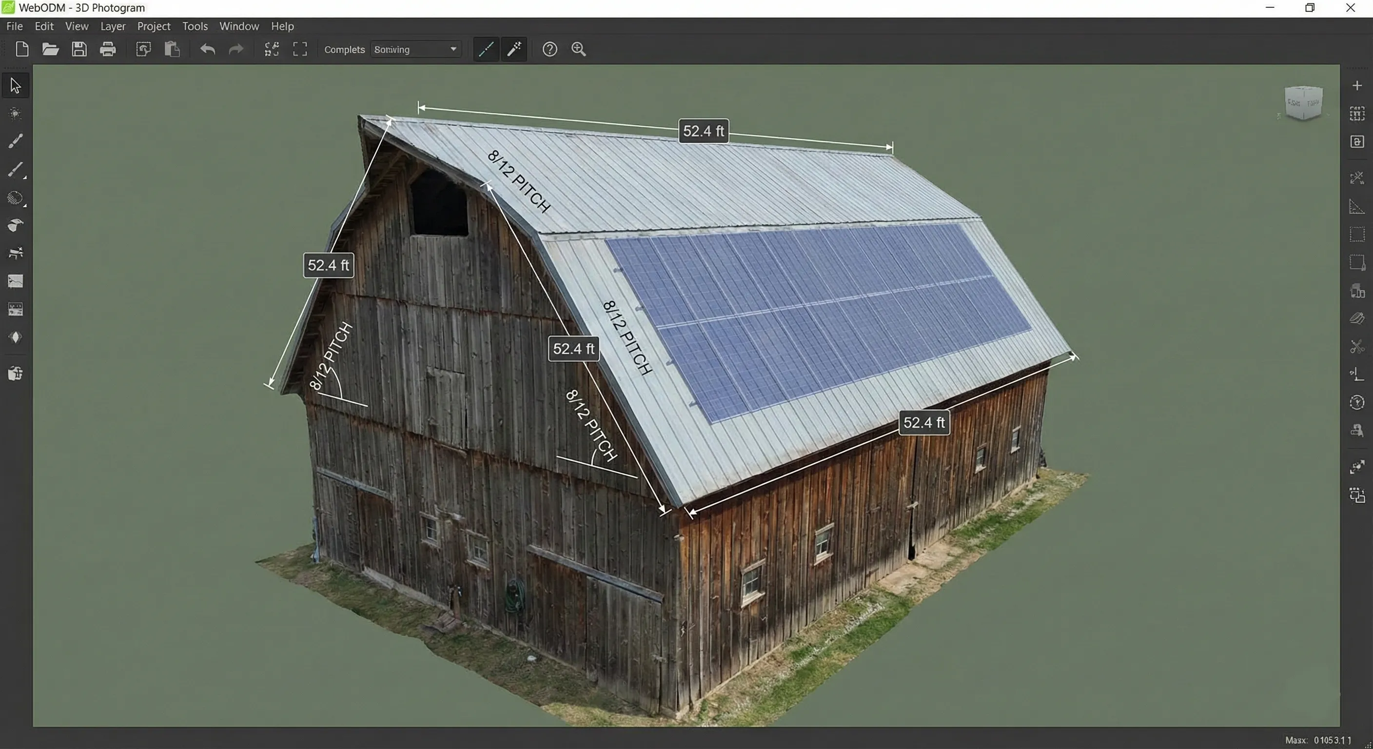
Rayleigh Barn Solar Survey
Generated 3D mesh and exported .DXF file for CAD. Measurements accurate to within 2cm—panels fit perfectly on first try.
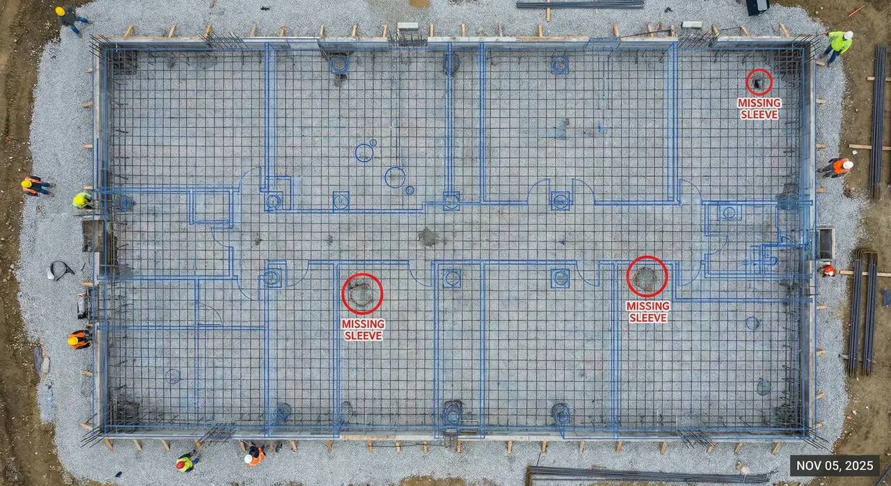
Aberdeen Pre-Pour Inspection
3D model overlaid on blueprints revealed 2 missing plumbing sleeves before concrete pour.
3D Modeling Deliverables
3D Textured Mesh
Photorealistic 3D model with color textures applied. View in any 3D software or web browser.
3D Point Cloud
Dense XYZ point cloud representing surface geometry. Compatible with CAD and BIM platforms.
CAD-Ready Exports
2D or 3D CAD files extracted from the 3D model for direct import into AutoCAD, Revit, or similar.
Web-Based 3D Viewer
Interactive 3D model hosted online that clients can view and share without special software.
Processing & Delivery Time
Standard: 3-5 business days for 3D model processing and export
Complex sites: May require additional processing time depending on site size and detail requirements