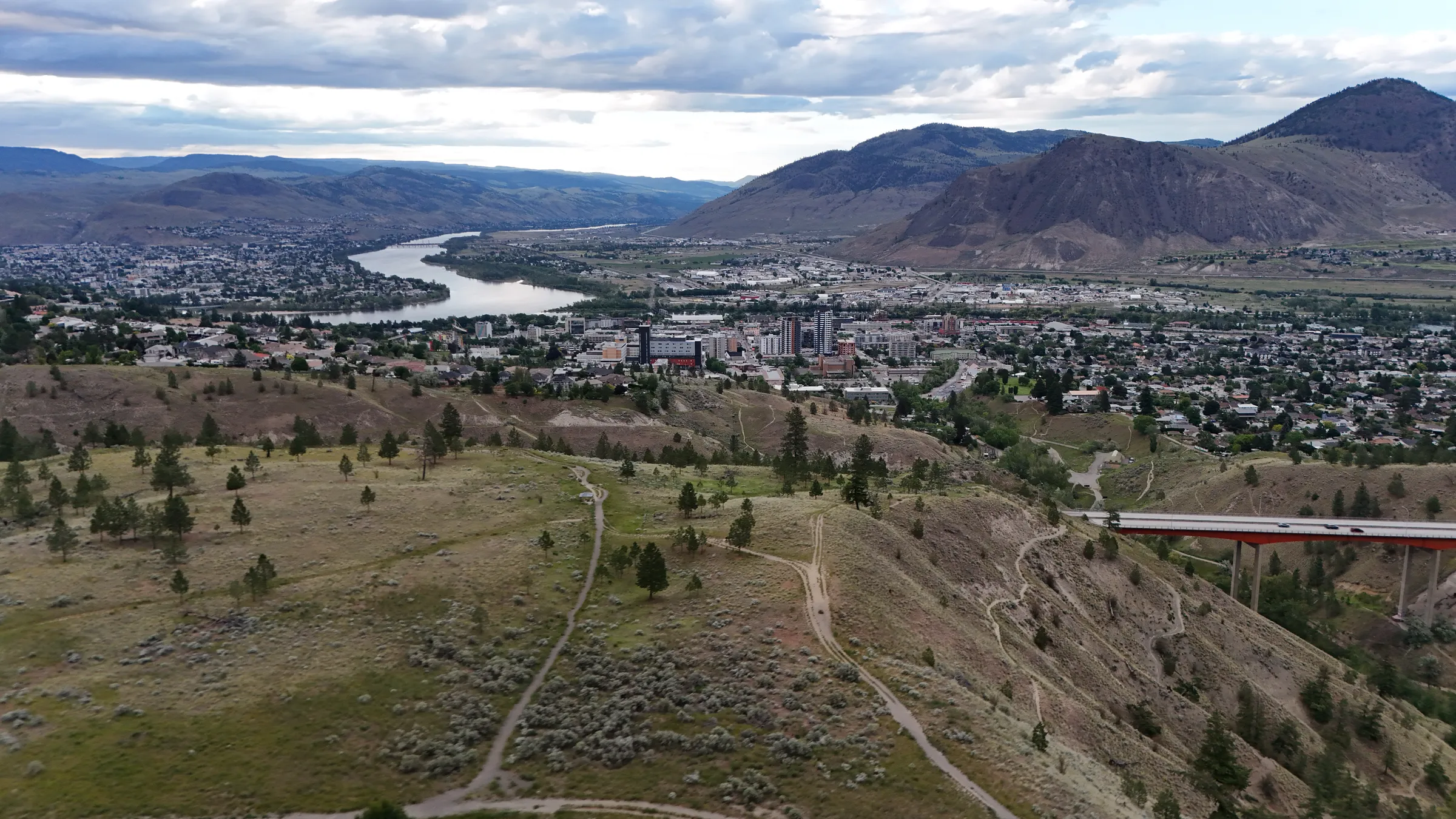
Professional Drone Mapping Services in Kamloops, BC
Survey-grade aerial mapping for surveyors, engineers, and contractors. Get accurate orthomosaics, terrain models, and volumetric data—faster and more affordable than traditional methods.
Why Engineers & Surveyors Choose Drone Mapping
Survey-Grade Accuracy
2-5cm accuracy for cut/fill calculations, stockpile volumes, and as-built verification.
High-Res Orthomosaics
Geo-referenced maps you can overlay directly onto CAD drawings and site plans.
CAD-Compatible Exports
Deliver in formats you can use: GeoTIFF, .DXF, .LAS point clouds, and more.
Cost-Effective
Faster and more affordable than traditional surveying for many applications.
Technical Specifications
Accuracy
Horizontal: 2-5cm (RTK/PPK)
Vertical: 3-7cm (RTK/PPK)
Accuracy depends on flight altitude, ground control points, and processing method.
Coverage
Area per flight: Up to 100 acres
Resolution: 1-2cm/pixel typical
Larger sites can be completed with multiple flights.
Processing
Software: WebODM, PIX4D
Coordinate systems: NAD83, WGS84, custom
All deliverables are geo-referenced and ready for CAD import.
Kamloops Mapping Projects
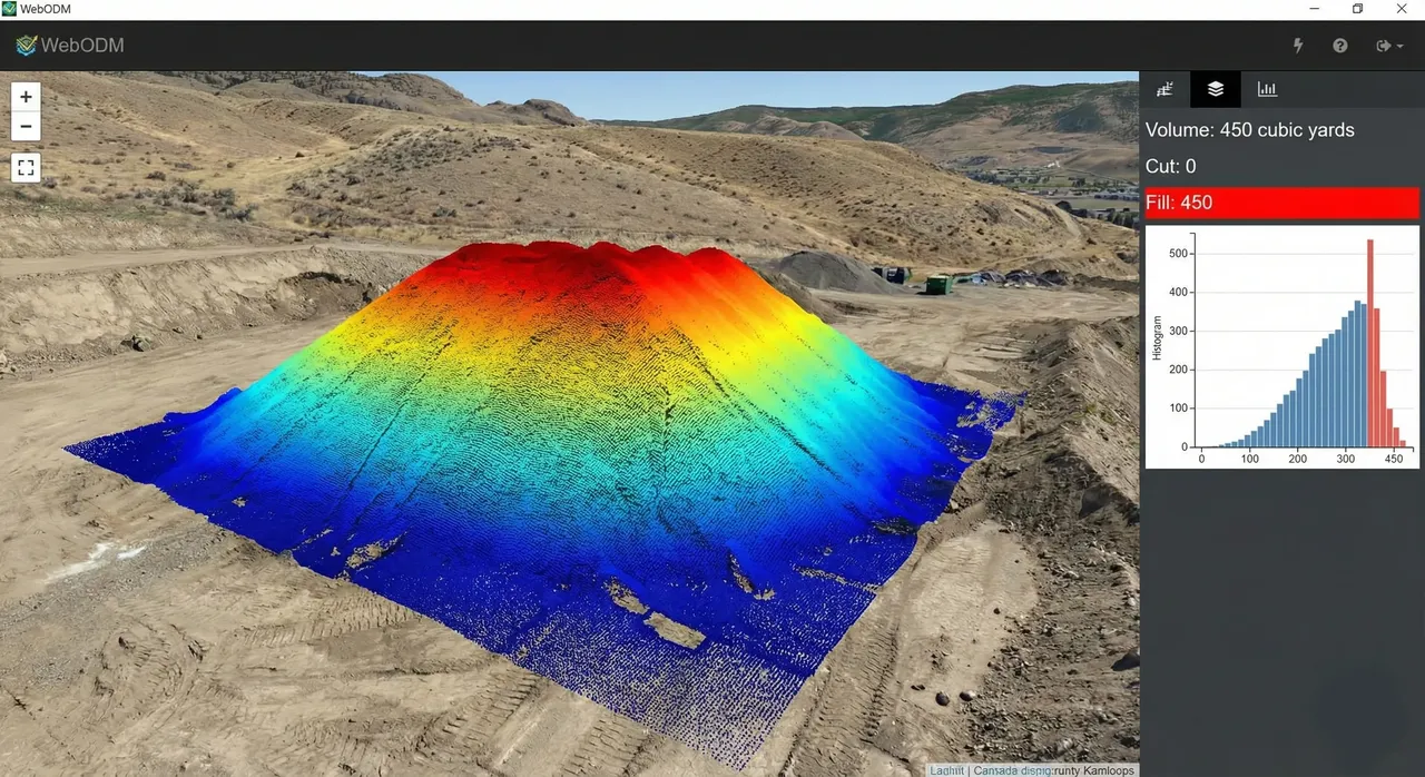
Pineview Retaining Wall Volumetrics
Calculated exact backfill requirement (450 cubic yards) before ordering trucks
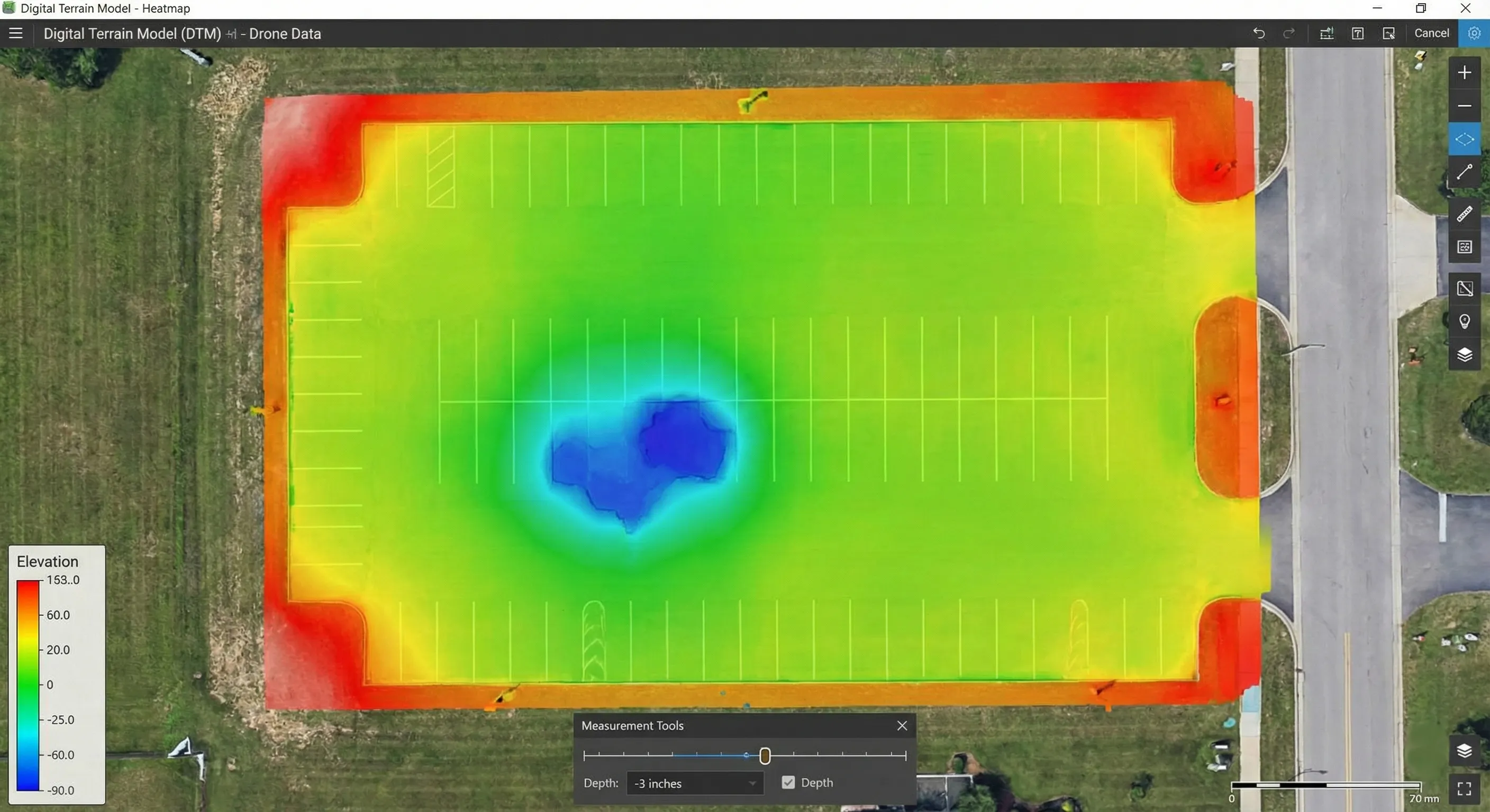
Dallas Drive Parking Lot Grade
Identified a 3-inch depression in sub-base with DTM before asphalt was laid
What You'll Receive
Orthomosaic Map
High-resolution, geo-referenced 2D map stitched from hundreds of aerial photos. Typically 1-2cm/pixel resolution.
Digital Terrain Model (DTM)
Elevation model of the bare earth surface, useful for drainage analysis and grading verification.
3D Point Cloud
Dense collection of XYZ points representing the site surface, compatible with CAD and BIM software.
Contour Lines
CAD-ready contour lines at your specified interval (e.g., 0.5m, 1m) for grading and planning.
Volumetric Reports
Cut/fill analysis or stockpile volume calculations with before/after comparisons.
Processing & Delivery Time
Standard: 3-5 business days after flight (weather permitting)
Rush service: 24-48 hour turnaround available for urgent projects (+$150)